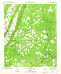
1946 Map of Valley Head
USGS Topo · Published 1965About this map
The Little River Valley serves as a primary geographic corridor in this 1946 study, where the Southern Railroad runs parallel to Big Ridge through the settlement of Valley Head. Along the plateau to the east, Mentone overlooks the winding course of the West Fork Little River, a landscape defined by sharp elevation changes at Sunset Rock and Eagle Nest. This era captures a well-established network of rural community centers, including Johns Chapel and the Davenport Chapel School, alongside early recreational developments like Camp De Soto and Camp Cloudmont. Further south, the dramatic De Soto Falls and the beginnings of De Soto State Park highlight the area's transition into a destination for mountain retreats, while the high Tennessee Divide separates these watercourses from the rugged eastern coves.
Find a feature on this map
69 named features on this map. Tap any name to fly to it.
Don’t see what you’re looking for? This feature index may not catch every label — zoom into the map to look around manually.
Map Details
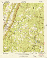
Editions of this 1946 Valley Head Map
2 editions found
Other maps of this area

1886 · Ringgold
USGS Topo · 1:125,000

1886 · Rome
USGS Topo · 1:125,000

1886 · Stevenson
USGS Topo · 1:125,000

1892 · Ringgold
USGS Topo · 1:125,000

1892 · Stevenson
USGS Topo · 1:125,000

1893 · Fort Payne
USGS Topo · 1:125,000

1895 · Stevenson
USGS Topo · 1:125,000

1898 · Rome
USGS Topo · 1:125,000

1898 · Fort Payne
USGS Topo · 1:125,000

1899 · Rome
USGS Topo · 1:125,000