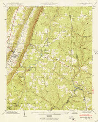
1946 Map of Valley Head
USGS Topo · Published 1956About this map
Lookout Mountain and the Tennessee Valley Divide dominate this mid-century landscape where the Alabama and Georgia borders meet. The Southern Railroad runs parallel to Dugout Ridge, serving the town of Valley Head and the nearby settlement of Hammondville. Higher on the ridge, the resort character of Mentone is evident through its proximity to Moon Lake and various youth camps including Camp De Soto and Camp Cloudmont.
Find a feature on this map
73 named features on this map. Tap any name to fly to it.
Don’t see what you’re looking for? This feature index may not catch every label — zoom into the map to look around manually.
Map Details
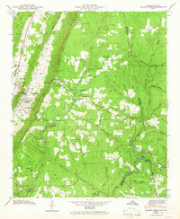
Editions of this 1946 Valley Head Map
2 editions found
Other maps of this area

1886 · Ringgold
USGS Topo · 1:125,000

1886 · Rome
USGS Topo · 1:125,000

1886 · Stevenson
USGS Topo · 1:125,000

1892 · Ringgold
USGS Topo · 1:125,000

1892 · Stevenson
USGS Topo · 1:125,000

1893 · Fort Payne
USGS Topo · 1:125,000

1895 · Stevenson
USGS Topo · 1:125,000

1898 · Rome
USGS Topo · 1:125,000

1898 · Fort Payne
USGS Topo · 1:125,000

1899 · Rome
USGS Topo · 1:125,000