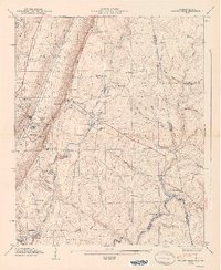
1947 Map of Valley Head
USGS Topo · Published 1947About this map
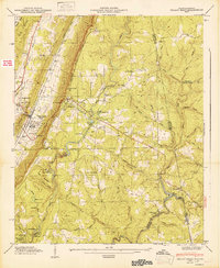
Valley Head sits at the foot of West Lookout Ridge, where the Southern Railroad follows the valley floor parallel to the Tennessee Valley Divide. This 1947 topographic survey, a collaborative effort by the USGS and the Tennessee Valley Authority, illustrates a landscape defined by dramatic elevation changes between Dugout Valley Ridge and the heights of Lookout Mountain. To the east, the resort community of Mentone overlooks the falls at De Soto Falls and the headwaters of the Little River. Local institutional history is well-represented by rural landmarks like the Davenport Chapel School and Moon Lake Sch, alongside numerous family and community burial grounds such as Ellison Cem and Jones Cem. The presence of Camp De Soto and Camp Cloudmont reflects the area's established role as a recreational destination along the Mentone Parkway in the post-war era.
Find a feature on this map
67 named features on this map. Tap any name to fly to it.
Don’t see what you’re looking for? This feature index may not catch every label — zoom into the map to look around manually.
Map Details
Editions of this 1947 Valley Head Map
2 editions found
Other maps of this area

1886 · Ringgold
USGS Topo · 1:125,000

1886 · Rome
USGS Topo · 1:125,000

1886 · Stevenson
USGS Topo · 1:125,000

1892 · Ringgold
USGS Topo · 1:125,000

1892 · Stevenson
USGS Topo · 1:125,000

1893 · Fort Payne
USGS Topo · 1:125,000

1895 · Stevenson
USGS Topo · 1:125,000

1898 · Rome
USGS Topo · 1:125,000

1898 · Fort Payne
USGS Topo · 1:125,000

1899 · Rome
USGS Topo · 1:125,000