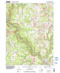
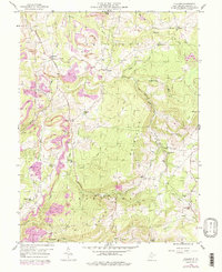
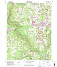
1997 Map of Valley Point
USGS Topo · Published 2002About this map
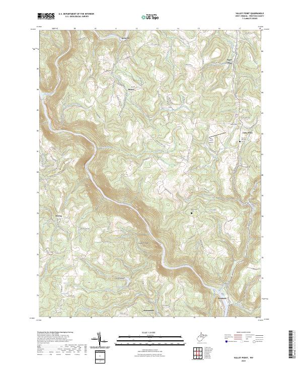
The Cheat River winds through the Preston County highlands, carving a deep gorge where an Old Railroad Grade follows the sharp bends of the water. This late twentieth-century landscape is defined by its industrial heritage, particularly the extensive mining operations indicated by numerous former mines and strip mines that pockmark the ridges near Valley Point and Sugar Valley. Downriver at the mouth of Muddy Creek, the Old Virginia Furnace stands as a landmark of earlier nineteenth-century iron production.
Find a feature on this map
58 named features on this map. Tap any name to fly to it.
Don’t see what you’re looking for? This feature index may not catch every label — zoom into the map to look around manually.
Map Details
Editions of this 1997 Valley Point Map
This is the sole edition of this map. No revisions or reprints were ever made.
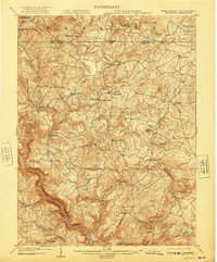
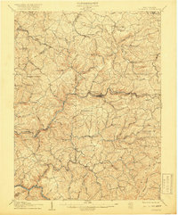
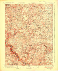
Historical Maps of Ruthbelle Through Time
13 maps found
1904 Bruceton
Preston County, WV
1907 Thornton
Preston County, WV
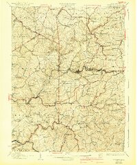
1926 Bruceton
Preston County, WV
1926 Thornton
Preston County, WV
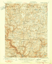
1933 Bruceton
Preston County, WV
1958 Fellowsville
Preston County, WV
1959 Cuzzart
Preston County, WV
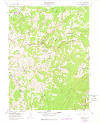
1959 Valley Point
Preston County, WV
1997 Cuzzart
Preston County, WV
1997 Valley Point
Preston County, WV
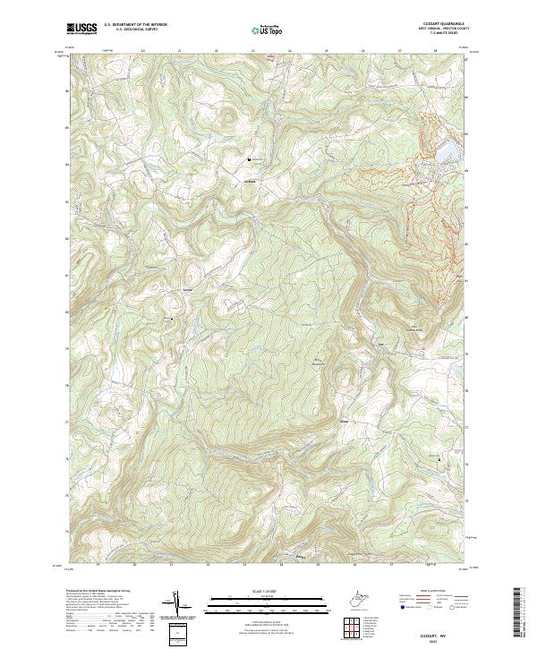
2023 Cuzzart
Preston County, WV
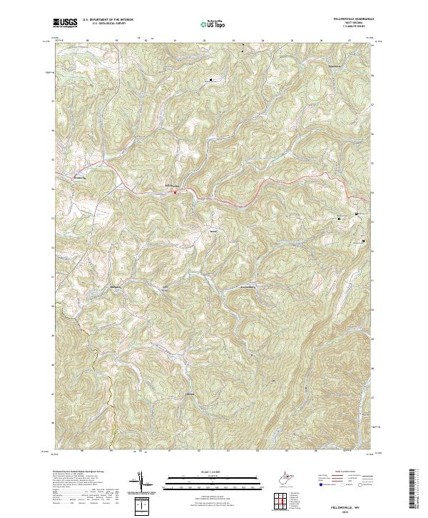
2023 Fellowsville
Preston County, WV
2023 Valley Point
Preston County, WV