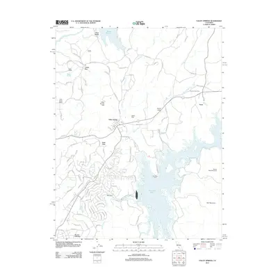
2012 Map of Valley Springs
USGS Topo · Published 2012About this map
Valley Springs serves as the focal point of this Calaveras County landscape, situated where the terrain transitions toward the Bear Mountains. The map documents a complex water management infrastructure essential to the region, anchored by Pardee Reservoir on the Mokelumne River to the north and the expansive New Hogan Lake on the Calaveras River to the south. This network includes the Pardee Tunnel and the operations at Camp Pardee, illustrating the scale of 21st-century utility development.
Find a feature on this map
100 named features on this map. Tap any name to fly to it.
Don’t see what you’re looking for? This feature index may not catch every label — zoom into the map to look around manually.
Map Details
Editions of this 2012 Valley Springs Map
This is the sole edition of this map. No revisions or reprints were ever made.
Other maps of this area

1889 · Jackson
USGS Topo · 1:125,000

1892 · Jackson
USGS Topo · 1:125,000

1897 · Jackson
USGS Topo · 1:125,000

1902 · Jackson
USGS Topo · 1:125,000

1941 · Sutter Creek
USGS Topo · 1:62,500

1944 · Valley Springs
USGS Topo · 1:62,500

1944 · Sutter Creek
USGS Topo · 1:62,500

1945 · San Andreas
USGS Topo · 1:62,500

1947 · San Andreas
USGS Topo · 1:62,500

1947 · Sacramento
USGS Topo · 1:250,000