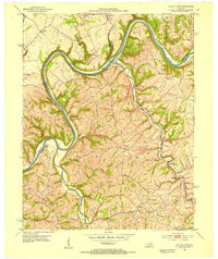
1952 Map of Valley View
USGS Topo · Published 1953About this map
The Kentucky River carves a dramatic, winding path through the borderlands of Madison, Jessamine, and Fayette counties, serving as the central artery for this mid-century landscape. At the river's sharpest bend sits Valley View, near the essential infrastructure of Lock 9. The terrain is characterized by high ridges and deep creek valleys, where small settlements like Newby, Baldwin, and Spears are connected by narrow winding roads.
Find a feature on this map
40 named features on this map. Tap any name to fly to it.
Don’t see what you’re looking for? This feature index may not catch every label — zoom into the map to look around manually.
Map Details
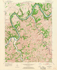
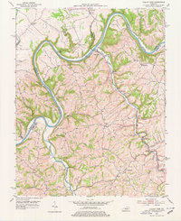
Editions of this 1952 Valley View Map
3 editions found
Other maps of this area

1892 · Richmond
USGS Topo · 1:125,000

1897 · Richmond
USGS Topo · 1:125,000

1905 · Harrodsburg
USGS Topo · 1:125,000
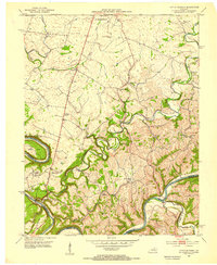
1952 · Little Hickman
USGS Topo · 1:24,000
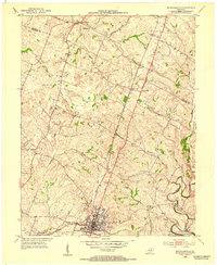
1952 · Nicholasville
USGS Topo · 1:24,000
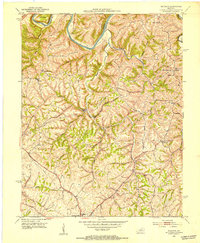
1952 · Buckeye
USGS Topo · 1:24,000
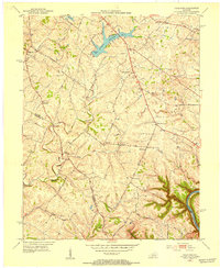
1952 · Coletown
USGS Topo · 1:24,000
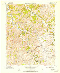
1952 · Kirksville
USGS Topo · 1:24,000
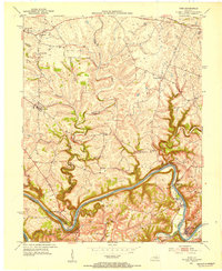
1952 · Ford
USGS Topo · 1:24,000
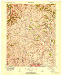
1952 · Richmond North
USGS Topo · 1:24,000