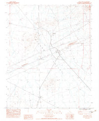
1983 Map of Valley Wells
USGS Topo · Published 1983About this map
Shadow Valley dominates this high desert landscape, characterized by the seasonal drainage of Kingston Wash and the northern reach of the Mescal Range. The map documents a sparsely populated but active corridor along Interstate 15, where infrastructure like 2 Underground Pipelines and a Borrow Pit serve the region's transport and utility needs. Evidence of earlier habitation and pastoral life appears at the Valley Wells (Site), marked by Ruins, a small Cem, and nearby Tailings, suggesting a history of small-scale mining or ranching. Further south, the Valley Wells Safety Rest Area marks the modern footprint of travelers, while traditional land use persists through scattered Corrals, Windmills, and the Rock-Tank located near the southern boundary.
Find a feature on this map
21 named features on this map. Tap any name to fly to it.
Don’t see what you’re looking for? This feature index may not catch every label — zoom into the map to look around manually.
Map Details
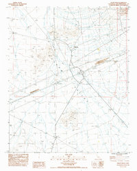
Editions of this 1983 Valley Wells Map
2 editions found
Other maps of this area

1910 · Ivanpah
USGS Topo · 1:250,000

1912 · Ivanpah
USGS Topo · 1:250,000

1942 · Ivanpah
USGS Topo · 1:250,000

1947 · Kingman
USGS Topo · 1:250,000

1948 · Kingman
USGS Topo · 1:250,000

1954 · Kingman
USGS Topo · 1:250,000

1955 · Kingman
USGS Topo · 1:250,000

1955 · Kingston Peak
USGS Topo · 1:62,500

1955 · Mescal Range
USGS Topo · 1:62,500

1956 · Halloran Spring
USGS Topo · 1:62,500