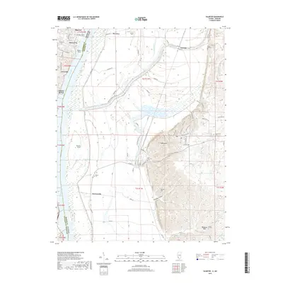
2018 Map of Valmeyer
USGS Topo · Published 2018About this map
Valmeyer sits at the foot of the eastern bluffs, overlooking the broad bottomlands of the Mississippi River where the Corps of Engineers Levee Rd guards the low-lying agricultural fields. This 2018 survey documents a landscape defined by its proximity to the water, from the industrial presence of Merrimac and the residential clusters at Imperial and Kimmswick on the Missouri side to the rural expanses of Illinois. The geography is marked by significant hydrological features such as Moredock Lake, Lucas Slough, and Chesley Island.
Find a feature on this map
74 named features on this map. Tap any name to fly to it.
Don’t see what you’re looking for? This feature index may not catch every label — zoom into the map to look around manually.
Map Details
Editions of this 2018 Valmeyer Map
This is the sole edition of this map. No revisions or reprints were ever made.
Other maps of this area

1910 · Waterloo
USGS Topo · 1:62,500

1912 · Kimmswick
USGS Topo · 1:62,500

1913 · Waterloo
USGS Topo · 1:62,500

1915 · Renault
USGS Topo · 1:62,500

1915 · Crystal City
USGS Topo · 1:62,500

1916 · Kimmswick
USGS Topo · 1:62,500

1940 · Renault
USGS Topo · 1:62,500

1948 · Kimmswick
USGS Topo · 1:62,500

1949 · Saint Louis
USGS Topo · 1:250,000

1949 · Crystal City
USGS Topo · 1:62,500