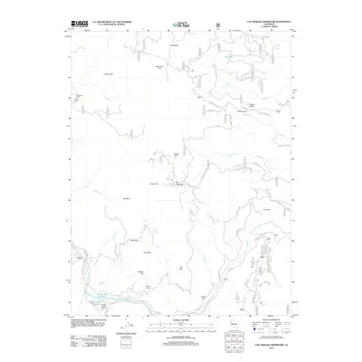
2012 Map of Van Arsdale Reservoir
USGS Topo · Published 2012About this map
The Eel River and its major tributaries define this mountain landscape in Lake County, where industrial activity and remote ranching meet. Near the southern edge of the sheet, the Van Arsdale Reservoir and Mill Pond serve the Louisiana Pacific Sawmill, an important marker of the local timber economy. The terrain is marked by significant elevation changes, from the heights of High Peak and Ericson Ridge to the lowlands of Wolf Valley and Deadmans Flat.
Find a feature on this map
80 named features on this map. Tap any name to fly to it.
Don’t see what you’re looking for? This feature index may not catch every label — zoom into the map to look around manually.
Map Details
Editions of this 2012 Van Arsdale Reservoir Map
This is the sole edition of this map. No revisions or reprints were ever made.
Other maps of this area

1922 · Hullville
USGS Topo · 1:62,500

1929 · Eden Valley
USGS Topo · 1:62,500

1943 · Pomo
USGS Topo · 1:62,500

1951 · Lake Pillsbury
USGS Topo · 1:62,500

1952 · Hull Mountain
USGS Topo · 1:62,500

1952 · Eden Valley
USGS Topo · 1:62,500

1957 · Ukiah
USGS Topo · 1:250,000

1960 · Ukiah
USGS Topo · 1:250,000
1960 · Potter Valley
USGS Topo · 1:24,000

1960 · Potter Valley
USGS Topo · 1:62,500