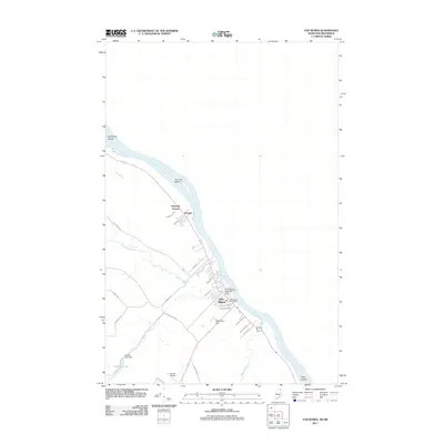
2011 Map of Van Buren
USGS Topo · Published 2011About this map
The Saint John River forms a dominant natural boundary along the international border in this 2011 survey of Aroostook County. The town of Van Buren serves as the primary hub, where the Van Buren Post Office and Van Buren Seaplane Base are situated near the riverbanks. The local landscape is defined by the winding course of Violette Stream and Violette Brook, which feed into Violette Lake near the Violette Lake Dam. This waterway network historically supported the region's development, evidenced by the clustered settlements of Keegan and Kennedy Terrace to the northwest.
Find a feature on this map
33 named features on this map. Tap any name to fly to it.
Don’t see what you’re looking for? This feature index may not catch every label — zoom into the map to look around manually.
Map Details
Editions of this 2011 Van Buren Map
This is the sole edition of this map. No revisions or reprints were ever made.
Other maps of this area

1921 · Van Buren
USGS Topo · 1:250,000

1927 · Stockholm
USGS Topo · 1:48,000

1931 · Van Buren
USGS Topo · 1:48,000

1931 · Stockholm
USGS Topo · 1:62,500

1934 · Van Buren
USGS Topo · 1:62,500

1938 · Grand Isle
USGS Topo · 1:62,500

1940 · Grand Isle
USGS Topo · 1:62,500

1951 · Van Buren
USGS Topo · 1:62,500

1953 · Stockholm
USGS Topo · 1:62,500

1962 · Edmundston
USGS Topo · 1:250,000