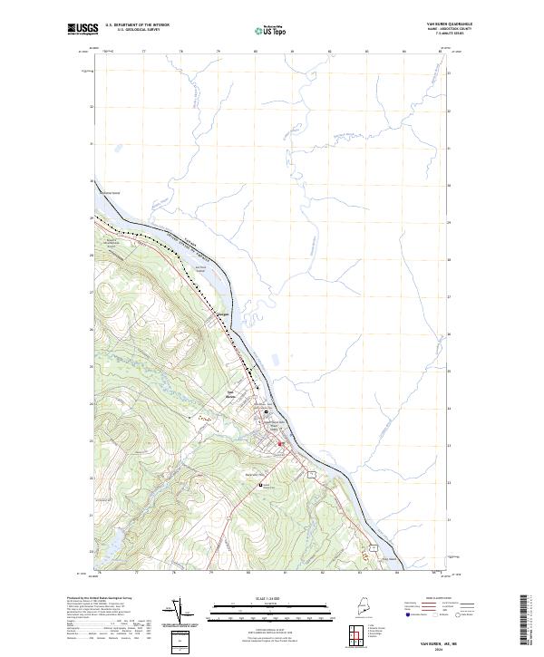
2024 Map of Van Buren
USGS Topo · Published 2024About this map
The Upper Saint John River Valley defines this northern border landscape where the Saint John River serves as the international boundary between the United States and Canada. The community of Van Buren is the primary hub, concentrated along Main St and Riverview Dr, while the smaller settlement of Keegan sits just to the northwest. This 2024 survey captures the densely settled riverfront and the agricultural and wooded uplands to the south, where family-named roads like Madore Rd and Gerard Dr crisscross the terrain.
Find a feature on this map
48 named features on this map. Tap any name to fly to it.
Don’t see what you’re looking for? This feature index may not catch every label — zoom into the map to look around manually.
Map Details
Editions of this 2024 Van Buren Map
This is the sole edition of this map. No revisions or reprints were ever made.
Other maps of this area

1921 · Van Buren
USGS Topo · 1:250,000

1927 · Stockholm
USGS Topo · 1:48,000

1931 · Van Buren
USGS Topo · 1:48,000

1931 · Stockholm
USGS Topo · 1:62,500

1934 · Van Buren
USGS Topo · 1:62,500

1938 · Grand Isle
USGS Topo · 1:62,500

1940 · Grand Isle
USGS Topo · 1:62,500

1951 · Van Buren
USGS Topo · 1:62,500

1953 · Stockholm
USGS Topo · 1:62,500

1962 · Edmundston
USGS Topo · 1:250,000