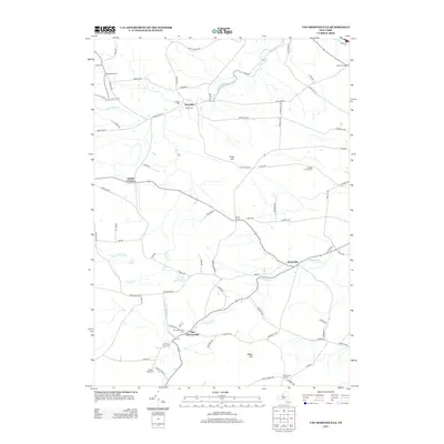
2013 Map of Van Hornesville
USGS Topo · Published 2013About this map
Van Hornesville anchors this landscape in the northern foothills of the Catskills, where the headwaters of Otsquago Creek begin their descent toward the Mohawk Valley. The settlement pattern here is defined by small agricultural junctions and crossroads communities, including Newville, Starkville, and Wrights Corners. Family and community history is preserved across several rural burial grounds, such as Pumpkin Hook Cemetery and Garlock Cemetery, which are often situated near the creeks that dictated early land divisions. The terrain is marked by distinctive elevations like Firey Hill and Willse Hill, which separate the various drainage basins. A dense network of local routes, such as Johnnycake Road and Foley Hill Road, connects the numerous homesteads and agricultural operations like Walking Clover Farms, reflecting a landscape that remains deeply rooted in its 19th-century rural infrastructure.
Find a feature on this map
80 named features on this map. Tap any name to fly to it.
Don’t see what you’re looking for? This feature index may not catch every label — zoom into the map to look around manually.
Map Details
Editions of this 2013 Van Hornesville Map
This is the sole edition of this map. No revisions or reprints were ever made.
Other maps of this area

1898 · Canajoharie
USGS Topo · 1:62,500

1900 · Little Falls
USGS Topo · 1:62,500

1900 · Canajoharie
USGS Topo · 1:62,500

1901 · Lassellsville
USGS Topo · 1:62,500

1902 · Canajoharie
USGS Topo · 1:62,500

1903 · Richfield Springs
USGS Topo · 1:62,500

1903 · Lassellsville
USGS Topo · 1:62,500

1903 · Little Falls
USGS Topo · 1:62,500

1939 · Little Falls
USGS Topo · 1:62,500

1943 · Jordanville
USGS Topo · 1:24,000