Loading...
Loading map...2022 Map of Van Vleck
USGS Topo · Published 2022About this map
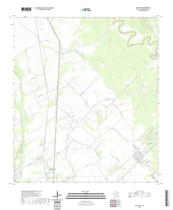
Van Vleck and the eastern outskirts of Bay City anchor this coastal plain landscape in Matagorda County. The terrain is defined by a complex network of slow-moving waterways, including the winding Caney Creek in the northeast and the parallel drainage systems of Snead Slough and Hardeman Slough. These natural features dictate the local road patterns, where rural routes like Runnels Pierce Road and Lee Harvey Road cross the open country between established settlements.
Find a feature on this map
68 named features on this map. Tap any name to fly to it.
Don’t see what you’re looking for? This feature index may not catch every label — zoom into the map to look around manually.
Map Details
Date Portrayed2022
Date Published2022
PublisherU.S. Geological Survey
Map TypeTopographic
Scale1:24000
Physical Dimensions24 x 29 inches
Editions of this 2022 Van Vleck Map
This is the sole edition of this map. No revisions or reprints were ever made.
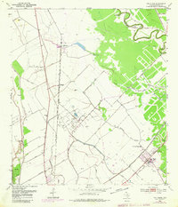
Historical Maps of Chalmers Through Time
Featured Locations
Source Details
SourceU.S. Geological Survey
CopyrightPublic Domain