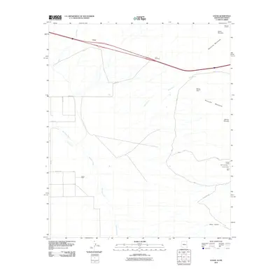
2010 Map of Vanar
USGS Topo · Published 2010About this map
Peloncillo Mountains dominate the eastern reaches of this borderlands quadrangle, where the arid landscape is defined by its history of extraction. Numerous claims and excavations are scattered throughout the hills, including the Mineral Mountain Mine and smaller sites like the Little Lucile Mine and Dewey Prospect. This industrial footprint suggests a period of intense interest in the geological richness of the mountains, while the lower desert floor is shaped by ephemeral watercourses such as the San Simon River and Vanar Wash.
Find a feature on this map
26 named features on this map. Tap any name to fly to it.
Don’t see what you’re looking for? This feature index may not catch every label — zoom into the map to look around manually.
Map Details
Editions of this 2010 Vanar Map
This is the sole edition of this map. No revisions or reprints were ever made.
Other maps of this area

1917 · San Simon
USGS Topo · 1:125,000

1926 · Orange Butte
USGS Topo · 1:62,500

1928 · Chenoweth
USGS Topo · 1:62,500

1950 · San Simon
USGS Topo · 1:62,500

1950 · Vanar
USGS Topo · 1:62,500

1951 · Vanar
USGS Topo · 1:62,500

1951 · San Simon
USGS Topo · 1:62,500

1954 · Silver City
USGS Topo · 1:250,000

1958 · Silver City
USGS Topo · 1:250,000

1962 · Silver City
USGS Topo · 1:250,000