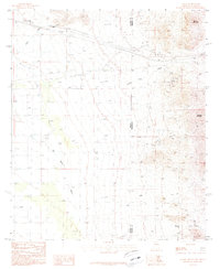
1987 Map of Vanar
USGS Topo · Published 1987About this map
Vanar sits at the high-desert crossroads of the Arizona-New Mexico border, where transport and utility infrastructure dominate the landscape. In the late 1980s, this area north of the San Simon River was characterized by a network of pipelines, a Pumping Station, and an industrial presence evidenced by numerous prospects, Gravel Pits, and a Mine Shaft. The topography rises sharply to the northeast with Steins Mountain and Attorney Mountain overlooking the valley floor.
Find a feature on this map
21 named features on this map. Tap any name to fly to it.
Don’t see what you’re looking for? This feature index may not catch every label — zoom into the map to look around manually.
Map Details
Editions of this 1987 Vanar Map
This is the sole edition of this map. No revisions or reprints were ever made.
Other maps of this area

1917 · San Simon
USGS Topo · 1:125,000

1926 · Orange Butte
USGS Topo · 1:62,500

1928 · Chenoweth
USGS Topo · 1:62,500

1950 · San Simon
USGS Topo · 1:62,500

1950 · Vanar
USGS Topo · 1:62,500

1951 · Vanar
USGS Topo · 1:62,500

1951 · San Simon
USGS Topo · 1:62,500

1954 · Silver City
USGS Topo · 1:250,000

1958 · Silver City
USGS Topo · 1:250,000

1962 · Silver City
USGS Topo · 1:250,000