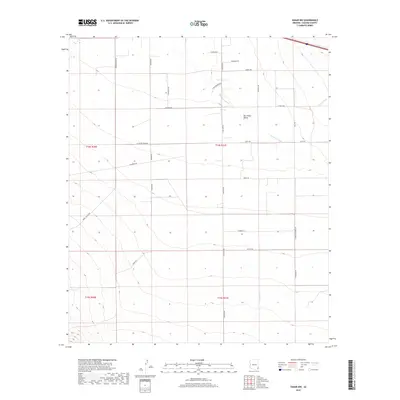
2018 Map of Vanar NW
USGS Topo · Published 2018About this map
The San Simon Valley dominates this corner of Cochise County, where the desert floor is etched by the meandering path of the San Simon River and the seasonal flow of Vanar Wash. This 2018 survey reveals a landscape defined by its grid of rural roads, many bearing local family names that suggest a history of ranching and agriculture in the high desert. Notable among these are W Dan Barnes Rd, Holloway Rd, and N Pattern Farms Rd, which carve the valley into distinct parcels. To the southwest, the terrain begins to rise toward the mountains, marked by the drainage of E Whitetail Cr and the winding course of Wood Canyon Rd. The map illustrates a contemporary pattern of land use where large-scale irrigation and modern roadways like Ratliff Rd intersect with the natural watercourses of the Arizona interior.
Find a feature on this map
30 named features on this map. Tap any name to fly to it.
Don’t see what you’re looking for? This feature index may not catch every label — zoom into the map to look around manually.
Map Details
Editions of this 2018 Vanar NW Map
This is the sole edition of this map. No revisions or reprints were ever made.
Other maps of this area

1917 · San Simon
USGS Topo · 1:125,000

1926 · Cochise Head
USGS Topo · 1:62,500

1926 · Orange Butte
USGS Topo · 1:62,500

1928 · Chenoweth
USGS Topo · 1:62,500

1928 · Bowie
USGS Topo · 1:62,500

1949 · Bowie
USGS Topo · 1:62,500

1950 · San Simon
USGS Topo · 1:62,500

1950 · Bowie
USGS Topo · 1:62,500

1950 · Cochise Head
USGS Topo · 1:62,500

1950 · Vanar
USGS Topo · 1:62,500