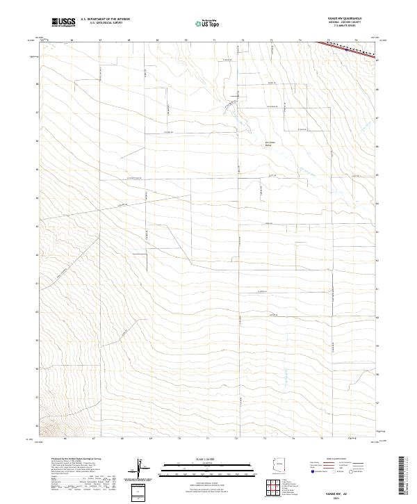
2021 Map of Vanar NW
USGS Topo · Published 2021About this map
San Simon Valley dominates this landscape, where the ephemeral flow of the San Simon River and Vanar Wash dictates the layout of local infrastructure. The map reveals a systematic grid of rural roads named for local families and natural landmarks, including Wood Canyon Rd, Parker Rd, and N Franklin Rd. This 2021 survey illustrates how modern desert land management and agricultural surveying follow the established Township and Range system, specifically within t14s r30e and t14s r31e. In the southern reaches, the terrain begins to rise toward the canyon lands as traced by Eldon Rd and the drainage of E Whitetail Cr. The scarcity of named structures highlights the area's primary character as a corridor of open range and sparsely settled ranch lands.
Find a feature on this map
33 named features on this map. Tap any name to fly to it.
Don’t see what you’re looking for? This feature index may not catch every label — zoom into the map to look around manually.
Map Details
Editions of this 2021 Vanar NW Map
This is the sole edition of this map. No revisions or reprints were ever made.
Other maps of this area

1917 · San Simon
USGS Topo · 1:125,000

1926 · Cochise Head
USGS Topo · 1:62,500

1926 · Orange Butte
USGS Topo · 1:62,500

1928 · Chenoweth
USGS Topo · 1:62,500

1928 · Bowie
USGS Topo · 1:62,500

1949 · Bowie
USGS Topo · 1:62,500

1950 · San Simon
USGS Topo · 1:62,500

1950 · Bowie
USGS Topo · 1:62,500

1950 · Cochise Head
USGS Topo · 1:62,500

1950 · Vanar
USGS Topo · 1:62,500