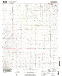
1996 Map of Vanar NW
USGS Topo · Published 2003About this map
The San Simon River winds through this desert terrain in Cochise County, defining the drainage patterns of a landscape marked by utility and remote infrastructure. Water management is the primary human fingerprint on the land, with numerous scattered wells and a network of pipelines crossing the territory. The presence of several landing strips suggests a reliance on aerial access in this sparsely populated region, where the label Portal identifies a central landmark. To the south, the topography grows more complex as East Whitetail Creek descends from the surrounding highlands, carving channels toward the basin floor. This map captures the intersection of natural watercourses and the engineered systems required to sustain ranching or industrial activity in the arid Arizona borderlands.
Find a feature on this map
6 named features on this map. Tap any name to fly to it.
Don’t see what you’re looking for? This feature index may not catch every label — zoom into the map to look around manually.
Map Details
Editions of this 1996 Vanar NW Map
This is the sole edition of this map. No revisions or reprints were ever made.
Other maps of this area

1917 · San Simon
USGS Topo · 1:125,000

1926 · Cochise Head
USGS Topo · 1:62,500

1926 · Orange Butte
USGS Topo · 1:62,500

1928 · Chenoweth
USGS Topo · 1:62,500

1928 · Bowie
USGS Topo · 1:62,500

1949 · Bowie
USGS Topo · 1:62,500

1950 · San Simon
USGS Topo · 1:62,500

1950 · Bowie
USGS Topo · 1:62,500

1950 · Cochise Head
USGS Topo · 1:62,500

1950 · Vanar
USGS Topo · 1:62,500