2023 Map of Vancouver
USGS Topo · Published 2023About this map
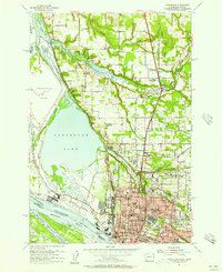
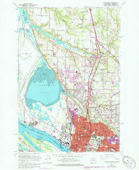
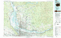
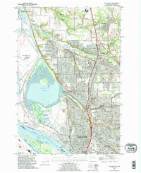
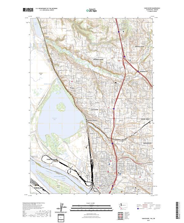
Vancouver sits at the nexus of the Columbia River and the expanding suburbs of Clark County, revealing a landscape where deep historical roots meet modern academic and civic development. The southern edge is anchored by the Fort Vancouver National Historic Site and the historic Old Vancouver City Cemetery, while the northern reaches show the growth of Salmon Creek and the Washington State University Vancouver campus. This survey captures the distinct geography of the region, from the wetlands of the Ridgefield National Wildlife Refuge and the wide expanse of Vancouver Lake to the transit corridors of Vancouver Junction. Genealogists will find a high density of burial sites documented, including the Mother Joseph Catholic Cemetery and Saint Johns Cemetery, which serve as markers for the community's early settlement patterns.
Find a feature on this map
60 named features on this map. Tap any name to fly to it.
Don’t see what you’re looking for? This feature index may not catch every label — zoom into the map to look around manually.
Map Details
Editions of this 2023 Vancouver Map
This is the sole edition of this map. No revisions or reprints were ever made.
Historical Maps of Vancouver Through Time
6 maps found