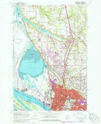
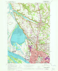
1961 Map of Vancouver
USGS Topo · Published 1978About this map
The industrial and civic heart of Vancouver dominates this survey, showing a landscape defined by the convergence of the Columbia River and the Willamette River. A massive Aluminum Plant and the Port of Vancouver occupy the riverfront, illustrating the city's mid-century role as a deep-water shipping and manufacturing hub. Inland, the suburban expansion of Hazel Dell and Minnehaha is documented alongside established institutions like Clark College and the Fort Vancouver Nat Hist Site. North of the city, the terrain transitions into a complex of wetlands and lakes, including Vancouver Lake and Shillapoo Lake, bordered by the smaller settlements of Knapp and Felida. The infrastructure of the era is remarkably detailed, from the Burlington Northern rail lines to the County Fairgrounds and the Barnes Gen Hospital, providing a comprehensive look at the region before late-20th-century development altered the northern reaches of the quadrangle.
Find a feature on this map
73 named features on this map. Tap any name to fly to it.
Don’t see what you’re looking for? This feature index may not catch every label — zoom into the map to look around manually.
Map Details
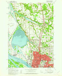
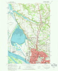
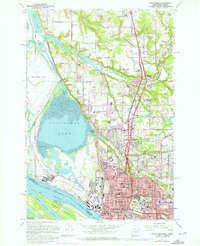
Editions of this 1961 Vancouver Map
5 editions found
Other maps of this area

1897 · Portland
USGS Topo · 1:62,500

1905 · Portland
USGS Topo · 1:62,500

1915 · Hillsboro
USGS Topo · 1:62,500

1918 · Hillsboro
USGS Topo · 1:62,500

1922 · St. Helens
USGS Topo · 1:62,500

1940 · Hillsboro
USGS Topo · 1:62,500

1940 · Portland
USGS Topo · 1:62,500

1940 · La Center
USGS Topo · 1:62,500

1941 · St Helens
USGS Topo · 1:62,500

1943 · St Helens
USGS Topo · 1:62,500