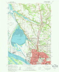
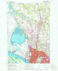
1961 Map of Vancouver
USGS Topo · Published 1962About this map
Vancouver sits at a critical junction of river and rail transport as it appeared in the early 1960s. The city's northern expansion is evident through the development of residential districts like Hazel Dell and Minnehaha, while the waterfront remains dominated by heavy industry and logistics. The massive Aluminum Plant at Mathews Point and the Port of Vancouver reflect the area's economic reliance on the Columbia River. The presence of specialized institutions such as the Washington School for the Blind, Washington School for the Deaf, and Clark College underscores the city's role as a regional service hub. To the north, the landscape transitions into agricultural plots and smaller settlements like Felida and Knapp, marked by landmarks such as the County Fairgrounds and various country cemeteries like Salmon Creek Cemetery.
Find a feature on this map
67 named features on this map. Tap any name to fly to it.
Don’t see what you’re looking for? This feature index may not catch every label — zoom into the map to look around manually.
Map Details
Editions of this 1961 Vancouver Map
5 editions found
Other maps of this area

1897 · Portland
USGS Topo · 1:62,500

1905 · Portland
USGS Topo · 1:62,500

1915 · Hillsboro
USGS Topo · 1:62,500

1918 · Hillsboro
USGS Topo · 1:62,500

1922 · St. Helens
USGS Topo · 1:62,500

1940 · Hillsboro
USGS Topo · 1:62,500

1940 · Portland
USGS Topo · 1:62,500

1940 · La Center
USGS Topo · 1:62,500

1941 · St Helens
USGS Topo · 1:62,500

1943 · St Helens
USGS Topo · 1:62,500