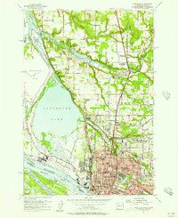
1990 Map of Vancouver
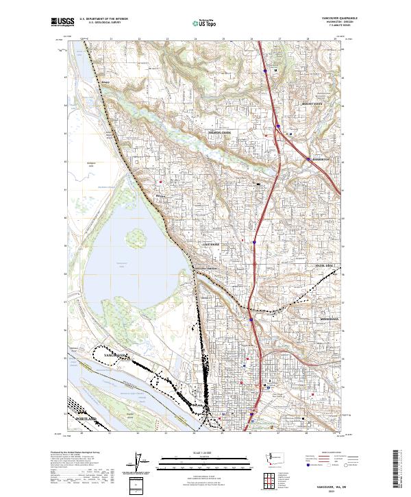
USGS Topo · Published 1995About this map
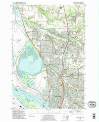
Vancouver serves as the focal point of this industrial and ecological corridor along the Columbia River in the early 1990s. The landscape transitions from the dense urban grid and historical grounds of the Fort Vancouver Nat Hist Site to the expansive wetlands of the Vancouver Lake Wildlife Area and Shillapoo Wildlife Area. The presence of specialized institutions like the Washington School For The Blind and Washington School For The Deaf reflects the city's long-standing role as a regional service hub.
Find a feature on this map
57 named features on this map. Tap any name to fly to it.
Don’t see what you’re looking for? This feature index may not catch every label — zoom into the map to look around manually.
Map Details
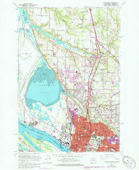
Editions of this 1990 Vancouver Map
This is the sole edition of this map. No revisions or reprints were ever made.
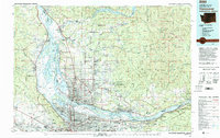
Historical Maps of Portland Through Time
6 maps found