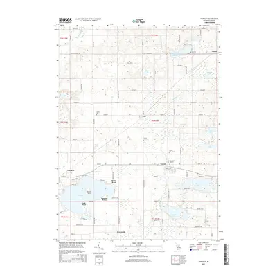
2017 Map of Vandalia
USGS Topo · Published 2017About this map
The glacial lakes and rolling farmsteads of Cass County define this survey, centered on the historic crossroads of Penn and the village of Vandalia. Water dominates the southern landscape, anchored by the expansive Diamond Lake and its distinctive Diamond Island, as well as the smaller recreational hubs of Spring Beach and Diamond Shores. Further east, Donnell Lake and Paradise Lake sit surrounded by local family-named roads like White Temple Rd and Gards Prairie Rd.
Find a feature on this map
95 named features on this map. Tap any name to fly to it.
Don’t see what you’re looking for? This feature index may not catch every label — zoom into the map to look around manually.
Map Details
Editions of this 2017 Vandalia Map
This is the sole edition of this map. No revisions or reprints were ever made.
Other maps of this area

1927 · Hartford
USGS Topo · 1:62,500

1931 · Hartford
USGS Topo · 1:62,500

1944 · Marcellus
USGS Topo · 1:62,500

1945 · Cassopolis
USGS Topo · 1:62,500

1946 · Marcellus
USGS Topo · 1:62,500

1947 · Cassopolis
USGS Topo · 1:62,500

1948 · Vandalia
USGS Topo · 1:62,500

1949 · Vandalia
USGS Topo · 1:62,500

1953 · Fort Wayne
USGS Topo · 1:250,000

1953 · Chicago
USGS Topo · 1:250,000