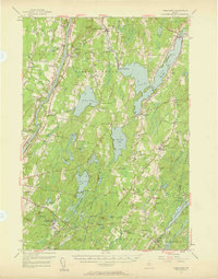
1956 Map of Vassalboro
USGS Topo · Published 1958About this map
Kennebec River frontage and the expansive waters of China Lake define this mid-century survey of Kennebec County. The landscape is dotted with early educational and institutional landmarks, including the Oak Grove Seminary near Vassalboro and the Erskine Academy in the hills above South China. To the south, the Veterans Administration Facility at Togus stands as a significant regional landmark, connected to the surrounding countryside by a dense network of local roads and highways like the Arnold Highway.
Find a feature on this map
104 named features on this map. Tap any name to fly to it.
Don’t see what you’re looking for? This feature index may not catch every label — zoom into the map to look around manually.
Map Details
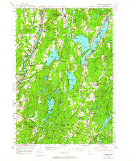
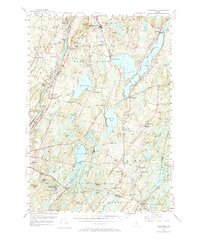
Editions of this 1956 Vassalboro Map
3 editions found
Other maps of this area

1892 · Gardiner
USGS Topo · 1:62,500

1892 · Waterville
USGS Topo · 1:62,500

1892 · Augusta
USGS Topo · 1:62,500

1893 · Vassalboro
USGS Topo · 1:62,500

1893 · Wiscasset
USGS Topo · 1:62,500

1894 · Norridgewock
USGS Topo · 1:62,500

1898 · Norridgewock
USGS Topo · 1:62,500

1898 · Vassalboro
USGS Topo · 1:62,500

1913 · Waldoboro
USGS Topo · 1:48,000

1915 · Waldoboro
USGS Topo · 1:62,500