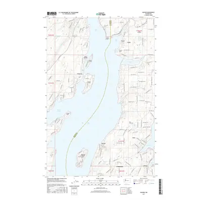
2017 Map of Vaughn
USGS Topo · Published 2017About this map
The waters of Case Inlet and Pickering Passage define this intricate portion of the South Puget Sound, where the Mason Co and Pierce Co line divides the landscape. This map documents a series of coastal settlements and island communities, including Grapeview, Vaughn, and the uniquely named town of Home. The shoreline is heavily articulated with sheltered spots like Butcher Cove and Haleys Lagoon, while islands such as Herron Island and Stretch Island sit just off the mainland. Modern infrastructure is represented by the Rocky Bay Airport and a dense network of local roads like Sherwood Creek Rd and Grapeview Loop Rd S. The map provides a clear picture of how residential development and small-scale transportation hubs have adapted to the complex geography of the Great Peninsula and Key Peninsula.
Find a feature on this map
131 named features on this map. Tap any name to fly to it.
Don’t see what you’re looking for? This feature index may not catch every label — zoom into the map to look around manually.
Map Details
Editions of this 2017 Vaughn Map
This is the sole edition of this map. No revisions or reprints were ever made.
Other maps of this area

1937 · Olympia
USGS Topo · 1:62,500

1938 · Allyn
USGS Topo · 1:62,500

1940 · Anderson Island
USGS Topo · 1:62,500

1942 · Gig Harbor
USGS Topo · 1:62,500

1943 · Gig Harbor
USGS Topo · 1:62,500

1948 · Anderson Island
USGS Topo · 1:62,500

1948 · Anderson Island
USGS Topo · 1:24,000

1949 · Olympia
USGS Topo · 1:62,500

1953 · Burley
USGS Topo · 1:24,000

1953 · Sylvan
USGS Topo · 1:24,000