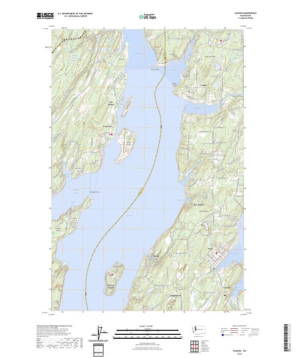
2023 Map of Vaughn
USGS Topo · Published 2023About this map
The complex shoreline of the Great Peninsula and Key Peninsula defines this maritime landscape, where numerous inlets and passages separate island communities from the mainland. Shoreline settlements like Vaughn, Grapeview, and Lakebay are oriented toward the protected waters of Case Inlet and Carr Inlet. The map reveals a high density of small-scale coastal features, from the residential clusters at Fair Harbor to the quiet reaches of Von Geldern Cove.
Find a feature on this map
135 named features on this map. Tap any name to fly to it.
Don’t see what you’re looking for? This feature index may not catch every label — zoom into the map to look around manually.
Map Details
Editions of this 2023 Vaughn Map
This is the sole edition of this map. No revisions or reprints were ever made.
Other maps of this area

1937 · Olympia
USGS Topo · 1:62,500

1938 · Allyn
USGS Topo · 1:62,500

1940 · Anderson Island
USGS Topo · 1:62,500

1942 · Gig Harbor
USGS Topo · 1:62,500

1943 · Gig Harbor
USGS Topo · 1:62,500

1948 · Anderson Island
USGS Topo · 1:62,500

1948 · Anderson Island
USGS Topo · 1:24,000

1949 · Olympia
USGS Topo · 1:62,500

1953 · Burley
USGS Topo · 1:24,000

1953 · Sylvan
USGS Topo · 1:24,000