
1963 Map of Vaver Reservoir
USGS Topo · Published 1966About this map
Vaver Reservoir sits at the northern edge of this Liberty County landscape, a vital water source in an area defined by its energy and drainage networks in the early 1960s. The map illustrates a developing industrial presence within a Gas Field, marked by several Gas Wells and a prominent Pipeline that traverses the high ground. The terrain is deeply carved by watercourses, with Little Sage Creek winding through the center and the distinct ravine of Fourmile Coulee stretching across the southeastern section. This survey captures a specific moment in Montana's resource extraction history, showing the distribution of early petroleum infrastructure alongside local landmarks like a Gravel Pit. The map's contour lines and drainage patterns offer a precise look at the physical geography before further modern development changed the profile of the sagebrush country.
Find a feature on this map
9 named features on this map. Tap any name to fly to it.
Don’t see what you’re looking for? This feature index may not catch every label — zoom into the map to look around manually.
Map Details
Editions of this 1963 Vaver Reservoir Map
This is the sole edition of this map. No revisions or reprints were ever made.
Other maps of this area

1919 · Alma
USGS Topo · 1:125,000

1954 · Shelby
USGS Topo · 1:250,000

1958 · Shelby
USGS Topo · 1:250,000
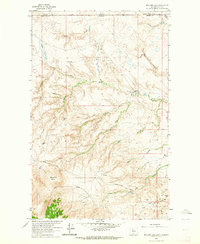
1962 · Bingham Lake
USGS Topo · 1:24,000

1962 · Lakey Ranch
USGS Topo · 1:24,000

1962 · Mount Lebanon
USGS Topo · 1:24,000

1963 · Bobcat Coulee SE
USGS Topo · 1:24,000

1963 · Chester NW
USGS Topo · 1:24,000

1963 · Chester NE
USGS Topo · 1:24,000
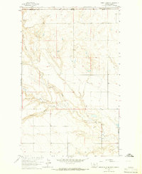
1964 · Bobcat Coulee NE
USGS Topo · 1:24,000