
1963 Map of Bobcat Coulee SE
USGS Topo · Published 1966About this map
Little Sage Creek meanders across this northern Montana landscape, carving a subtle valley through the high plains of the Liberty and Hill county border. The area is defined by a sparse, rural infrastructure typical of the early 1960s, where movement was dictated by section lines and local ranch roads. A significant marker of the area's social history is the Tingdahl School, located near the center of the survey. This small schoolhouse represents the era's reliance on localized education centers for the families managing the surrounding grain and cattle operations. The map also delineates the precise boundary between Liberty Co and Hill Co, providing a clear record of jurisdictional lines as they existed during this 1963 field check.
Find a feature on this map
3 named features on this map. Tap any name to fly to it.
Don’t see what you’re looking for? This feature index may not catch every label — zoom into the map to look around manually.
Map Details
Editions of this 1963 Bobcat Coulee SE Map
This is the sole edition of this map. No revisions or reprints were ever made.
Other maps of this area

1919 · Alma
USGS Topo · 1:125,000

1954 · Shelby
USGS Topo · 1:250,000

1958 · Shelby
USGS Topo · 1:250,000

1963 · Vaver Reservoir
USGS Topo · 1:24,000

1963 · Chester NW
USGS Topo · 1:24,000

1963 · Chester NE
USGS Topo · 1:24,000
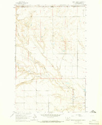
1964 · Bobcat Coulee NE
USGS Topo · 1:24,000
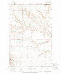
1964 · Laird School
USGS Topo · 1:24,000

1972 · Goldstone SW
USGS Topo · 1:24,000

1972 · Rudyard NW
USGS Topo · 1:24,000