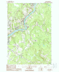
1988 Map of Veazie
USGS Topo · Published 1988About this map
The Penobscot River serves as the central artery for this region of Penobscot County, where the industrial and suburban footprints of Veazie, Brewer, and Orono converge. This late-1980s landscape is defined by the heavy infrastructure of the era, including the Hydro-Power Dam and a cluster of Oil Tanks near North Brewer. The transition from urban centers like Bangor to more rural outposts is evident in the quiet stretches around Clewleyville Corners and Holden.
Find a feature on this map
35 named features on this map. Tap any name to fly to it.
Don’t see what you’re looking for? This feature index may not catch every label — zoom into the map to look around manually.
Map Details
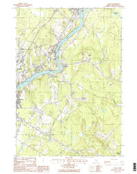
Editions of this 1988 Veazie Map
2 editions found
Other maps of this area

1900 · Orland
USGS Topo · 1:62,500

1900 · Bucksport
USGS Topo · 1:62,500

1902 · Orono
USGS Topo · 1:62,500

1902 · Bucksport
USGS Topo · 1:62,500

1902 · Bangor
USGS Topo · 1:62,500

1942 · Orland
USGS Topo · 1:62,500

1942 · Bangor
USGS Topo · 1:62,500

1942 · Bucksport
USGS Topo · 1:62,500

1944 · Orono
USGS Topo · 1:62,500

1946 · Bangor
USGS Topo · 1:62,500