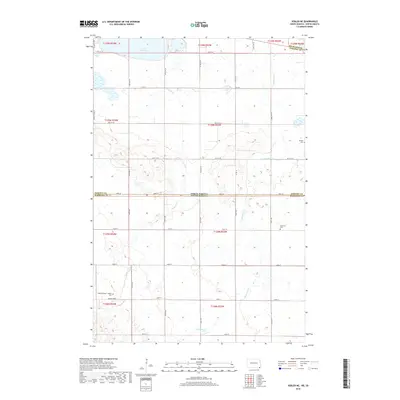
2018 Map of Veblen NE
USGS Topo · Published 2018About this map
Lake Tewaukon dominates the northern landscape of this prairie borderland, where the state line divides the Dakotas. The terrain is defined by a complex network of glacial drainage, with La Belle Cr and Shortfoot Cr meandering through sections of t129n r53w and surrounding townships. This 2018 survey reveals a rural landscape structured by a precise grid of section lines and gravel roads, including Co Rd 5 and 98th St SE. For local historians and genealogists, the map identifies several significant burial sites that speak to the area's early settlement patterns, such as Mountainhead - Labelle Cem near Bessler Creek, as well as Bergen Cem and Palestine Cem further east. These sites, often the only remaining markers of former gathering places, sit within a landscape that continues to follow the original Public Land Survey System divisions.
Find a feature on this map
26 named features on this map. Tap any name to fly to it.
Don’t see what you’re looking for? This feature index may not catch every label — zoom into the map to look around manually.
Map Details
Editions of this 2018 Veblen NE Map
This is the sole edition of this map. No revisions or reprints were ever made.
Other maps of this area

1907 · Wyndmere
USGS Topo · 1:125,000

1953 · Milbank
USGS Topo · 1:250,000

1953 · Fargo
USGS Topo · 1:250,000

1956 · Fargo
USGS Topo · 1:250,000

1958 · Milbank
USGS Topo · 1:250,000

1958 · Hillhead
USGS Topo · 1:24,000

1958 · Veblen
USGS Topo · 1:24,000

1958 · Marlow
USGS Topo · 1:24,000

1958 · Veblen NE
USGS Topo · 1:24,000

1958 · Geneseo
USGS Topo · 1:24,000