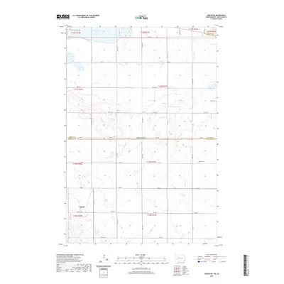
2020 Map of Veblen NE
USGS Topo · Published 2020About this map
The northern edge of the Coteau des Prairies meets the Red River Valley along the border of North and South Dakota in this 2020 study. Lake Tewaukon dominates the northern landscape, while several drainages including La Belle Cr, Shortfoot Cr, and Bessler Creek carve through the agricultural townships. This map is particularly valuable for genealogists, as it documents several historic burial sites such as Mountainhead La Belle Cem, Palestine Cem, and Bergen Cem. The terrain is strictly divided by a network of sectional roads like Co Rd 5 and 100th St, which trace the section lines across the state boundary between Sargent and Marshall Counties.
Find a feature on this map
26 named features on this map. Tap any name to fly to it.
Don’t see what you’re looking for? This feature index may not catch every label — zoom into the map to look around manually.
Map Details
Editions of this 2020 Veblen NE Map
This is the sole edition of this map. No revisions or reprints were ever made.
Other maps of this area

1907 · Wyndmere
USGS Topo · 1:125,000

1953 · Milbank
USGS Topo · 1:250,000

1953 · Fargo
USGS Topo · 1:250,000

1956 · Fargo
USGS Topo · 1:250,000

1958 · Milbank
USGS Topo · 1:250,000

1958 · Hillhead
USGS Topo · 1:24,000

1958 · Veblen
USGS Topo · 1:24,000

1958 · Marlow
USGS Topo · 1:24,000

1958 · Veblen NE
USGS Topo · 1:24,000

1958 · Geneseo
USGS Topo · 1:24,000