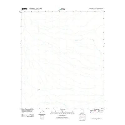
2011 Map of Vekol Mountains NE
USGS Topo · Published 2011About this map
Table Top Valley defines this arid landscape in the Sif Oidak District, where complex drainage networks carve through the desert floor. The map highlights the significant role of ephemeral watercourses in this environment, specifically Mesa Wash and Bitter Well Wash, which dominate the local topography. These features indicate a terrain shaped by seasonal water flow, crucial for understanding the historical land use and environmental constraints of this portion of Pinal County. The sparse distribution of named features underscores the remote nature of the valley during this 2011 survey, focusing primarily on the natural desert hydrography.
Find a feature on this map
3 named features on this map. Tap any name to fly to it.
Don’t see what you’re looking for? This feature index may not catch every label — zoom into the map to look around manually.
Map Details
Editions of this 2011 Vekol Mountains NE Map
This is the sole edition of this map. No revisions or reprints were ever made.
Other maps of this area

1922 · Casa Grande
USGS Topo · 1:62,500

1924 · Casa Grande
USGS Topo · 1:62,500

1941 · Vekol Mountains
USGS Topo · 1:62,500

1942 · Silver Reef Mountains
USGS Topo · 1:62,500

1942 · Vekol Mountains
USGS Topo · 1:62,500

1946 · Antelope Peak
USGS Topo · 1:62,500

1948 · Antelope Peak
USGS Topo · 1:62,500

1953 · Ajo
USGS Topo · 1:250,000

1956 · Tucson
USGS Topo · 1:250,000

1957 · Ajo
USGS Topo · 1:250,000