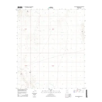
2014 Map of Vekol Mountains NE
USGS Topo · Published 2014About this map
The Table Top Mountains dominate the northwestern horizon of this arid Pinal County landscape, giving way to the broad expanse of Table Top Valley. This 2014 survey documents the complex topography of the Sonoran Desert prior to recent shifts in land management and climate patterns. To the southeast, the Vaiva Hills rise abruptly from the desert floor, while the Vekol Mountains anchor the southwestern corner of the quadrangle. Significant drainage systems, including Mesa Wash and Bitter Well Wash, illustrate the primary hydrological features that define the region's erosional patterns and potential historical travel corridors. The map provides a precise look at the township and range divisions across the northern edge of the Pinal County line, capturing a desert wilderness shaped by intermittent water flow and distinct mountain ranges.
Find a feature on this map
11 named features on this map. Tap any name to fly to it.
Don’t see what you’re looking for? This feature index may not catch every label — zoom into the map to look around manually.
Map Details
Editions of this 2014 Vekol Mountains NE Map
This is the sole edition of this map. No revisions or reprints were ever made.
Other maps of this area

1922 · Casa Grande
USGS Topo · 1:62,500

1924 · Casa Grande
USGS Topo · 1:62,500

1941 · Vekol Mountains
USGS Topo · 1:62,500

1942 · Silver Reef Mountains
USGS Topo · 1:62,500

1942 · Vekol Mountains
USGS Topo · 1:62,500

1946 · Antelope Peak
USGS Topo · 1:62,500

1948 · Antelope Peak
USGS Topo · 1:62,500

1953 · Ajo
USGS Topo · 1:250,000

1956 · Tucson
USGS Topo · 1:250,000

1957 · Ajo
USGS Topo · 1:250,000