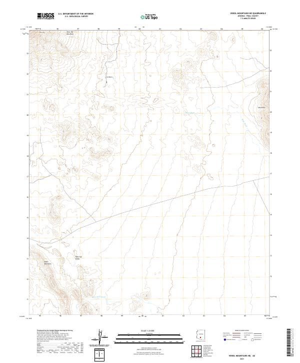
2021 Map of Vekol Mountains NE
USGS Topo · Published 2021About this map
The Table Top Mountains dominate the northern landscape of this Pinal County region, with the prominent peak of Table Top rising above the surrounding desert floor. This 2021 survey illustrates the arid topography where drainage patterns are defined by seasonal watercourses like Mesa Wash and Bitter Well Wash. The terrain transitions from the steep elevations of the Vekol Mountains in the southwest into the broad expanse of Table Top Valley. The eastern portion of the map is marked by the distinct Vaiva Hills, providing a clear record of the geological character and natural landmarks in this part of Arizona. Given the lack of developed infrastructure, the map serves as a primary reference for the landform relationships and drainage systems that characterize this basin and range environment.
Find a feature on this map
11 named features on this map. Tap any name to fly to it.
Don’t see what you’re looking for? This feature index may not catch every label — zoom into the map to look around manually.
Map Details
Editions of this 2021 Vekol Mountains NE Map
This is the sole edition of this map. No revisions or reprints were ever made.
Other maps of this area

1922 · Casa Grande
USGS Topo · 1:62,500

1924 · Casa Grande
USGS Topo · 1:62,500

1941 · Vekol Mountains
USGS Topo · 1:62,500

1942 · Silver Reef Mountains
USGS Topo · 1:62,500

1942 · Vekol Mountains
USGS Topo · 1:62,500

1946 · Antelope Peak
USGS Topo · 1:62,500

1948 · Antelope Peak
USGS Topo · 1:62,500

1953 · Ajo
USGS Topo · 1:250,000

1956 · Tucson
USGS Topo · 1:250,000

1957 · Ajo
USGS Topo · 1:250,000