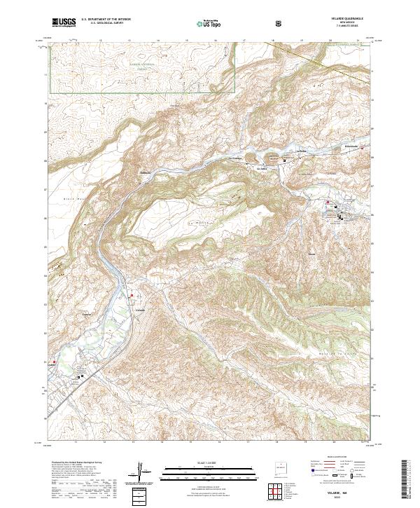
2023 Map of Velarde
USGS Topo · Published 2023About this map
The Rio Grande carves a deep valley through this corner of New Mexico, shaping the agricultural and religious life of communities like Velarde and Dixon. The map reveals a high concentration of spiritual and community landmarks, particularly clustered around Dixon, where the El Santuario Cem, Anthonys Catholic Cem, and Saint Dixon Presbyterian Cem reflect a diverse local heritage. The landscape is defined by traditional water management systems, including the Llano Ditch, La Plaza Ditch, and Canova Ditch, which continue to divert water from the river to sustain local fields.
Find a feature on this map
63 named features on this map. Tap any name to fly to it.
Don’t see what you’re looking for? This feature index may not catch every label — zoom into the map to look around manually.
Map Details
Editions of this 2023 Velarde Map
This is the sole edition of this map. No revisions or reprints were ever made.
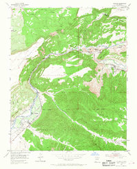
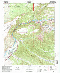
Historical Maps of Velarde Through Time
3 maps found