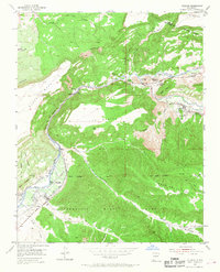
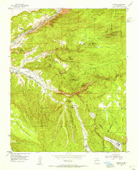
1953 Map of Velarde
USGS Topo · Published 1968About this map
Rio Grande waters dominate this 1950s landscape, flanked by a complex system of community irrigation channels including the Rinconada Ditch, Canova Ditch, and Velarde Ditch. This area near the Rio Arriba and Taos county line is defined by its deep canyons and fertile agricultural ribbons. The presence of the Embudo Presbyterian Hospital and the Evangelical Sch & Ch underscores the established community infrastructure of the era. Genealogists will find notable value in the location of the Dixon Cemeteries and Velarde Cem. The transportation history of the canyon is evident in the Old Railroad Grade and the Embudo Gaging Sta, markers of a time when the river corridor served as a primary artery for movement through northern New Mexico between Black Mesa and La Mesita.
Find a feature on this map
59 named features on this map. Tap any name to fly to it.
Don’t see what you’re looking for? This feature index may not catch every label — zoom into the map to look around manually.
Map Details
Editions of this 1953 Velarde Map
2 editions found
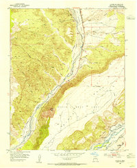
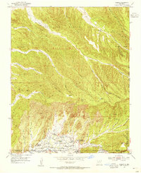
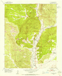
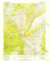
Other maps of this area

1918 · Abiquiu
USGS Topo · 1:125,000
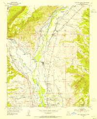
1953 · San Juan Pueblo
USGS Topo · 1:24,000
1953 · Lyden
USGS Topo · 1:24,000

1953 · Truchas
USGS Topo · 1:24,000
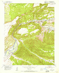
1953 · Velarde
USGS Topo · 1:24,000
1953 · Trampas
USGS Topo · 1:24,000
1953 · Chimayo
USGS Topo · 1:24,000
1953 · Ojo Caliente
USGS Topo · 1:24,000
1953 · San Juan Pueblo
USGS Topo · 1:62,500

1954 · Raton
USGS Topo · 1:250,000