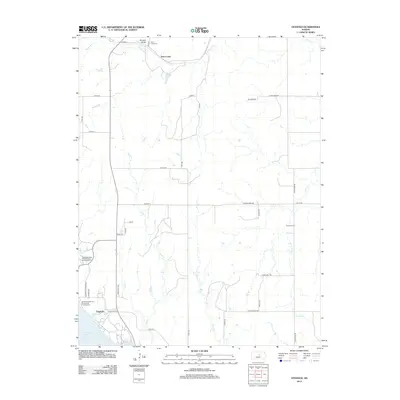
2012 Map of Venango
USGS Topo · Published 2012About this map
Terra Cotta anchors the northern landscape of this Ellsworth County region, situated near the distinctive terrain of Buzzard Roost. The area is defined by its drainage systems, including W Spring Cr and the meandering Sand Cr, which flow through a network of section-line roads like Avenue K and 31st Rd. Genealogists will find the Terra Cotta Cem and Summit Cem as key points of interest for local family history.
Find a feature on this map
38 named features on this map. Tap any name to fly to it.
Don’t see what you’re looking for? This feature index may not catch every label — zoom into the map to look around manually.
Map Details
Editions of this 2012 Venango Map
This is the sole edition of this map. No revisions or reprints were ever made.
Other maps of this area
1892 · Salina
USGS Topo · 1:125,000
1894 · Ellsworth
USGS Topo · 1:125,000
1942 · Salina
USGS Topo · 1:125,000
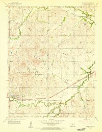
1955 · Brookville
USGS Topo · 1:24,000
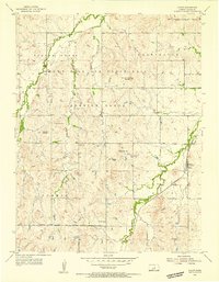
1955 · Falun
USGS Topo · 1:24,000
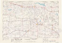
1955 · Great Bend
USGS Topo · 1:250,000
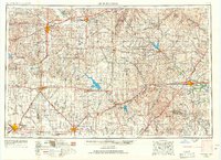
1955 · Hutchinson
USGS Topo · 1:250,000
1957 · Great Bend
USGS Topo · 1:250,000
1957 · Brookville SW
USGS Topo · 1:24,000
1957 · Westfall SE
USGS Topo · 1:24,000