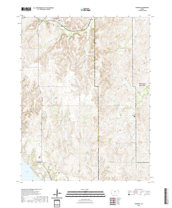
2022 Map of Venango
USGS Topo · Published 2022About this map
Terra Cotta and Arcola represent the dispersed settlement pattern of this rural landscape along the boundary of Ellsworth and Saline counties. The terrain is defined by the drainage basins of W Spring Creek and Wiley Creek, which carve into the plains before reaching the northern reaches of Kanopolis Lake. Near the southern edge of the map, the community of Venango sits just above the lake's shoreline, connected by a network of section-line roads like Corner Road and Avenue Q. Local history is preserved at sites such as Terra Cotta Cemetery and Summit Cemetery, while the prominent elevation at Buzzard Roost provides a clear landmark overlooking the creek beds. This modern topographic survey illustrates how historical place names persist even as the surrounding prairie is managed for agricultural use and water conservation.
Find a feature on this map
37 named features on this map. Tap any name to fly to it.
Don’t see what you’re looking for? This feature index may not catch every label — zoom into the map to look around manually.
Map Details
Editions of this 2022 Venango Map
This is the sole edition of this map. No revisions or reprints were ever made.
Other maps of this area

1892 · Salina
USGS Topo · 1:125,000

1894 · Ellsworth
USGS Topo · 1:125,000

1942 · Salina
USGS Topo · 1:125,000

1955 · Brookville
USGS Topo · 1:24,000

1955 · Falun
USGS Topo · 1:24,000

1955 · Great Bend
USGS Topo · 1:250,000

1955 · Hutchinson
USGS Topo · 1:250,000

1957 · Great Bend
USGS Topo · 1:250,000

1957 · Brookville SW
USGS Topo · 1:24,000

1957 · Westfall SE
USGS Topo · 1:24,000