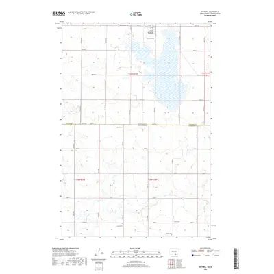
2020 Map of Venturia
USGS Topo · Published 2020About this map
Venturia sits at the northern edge of this boundary landscape where North Dakota meets South Dakota. This rural corridor is defined by its small-town grid and the wide, open spaces that surround it, marked significantly by a high concentration of local cemeteries that speak to the area's pioneer heritage and family roots. The map shows several burial grounds tied to specific congregations and families, including Venturia Baptist Cem, Zion Lutheran Cem, and the Friedens Lutheran Cem.
Find a feature on this map
34 named features on this map. Tap any name to fly to it.
Don’t see what you’re looking for? This feature index may not catch every label — zoom into the map to look around manually.
Map Details
Editions of this 2020 Venturia Map
This is the sole edition of this map. No revisions or reprints were ever made.
Other maps of this area

1953 · Jamestown
USGS Topo · 1:250,000

1954 · Aberdeen
USGS Topo · 1:250,000

1956 · Aberdeen
USGS Topo · 1:250,000

1956 · Jamestown
USGS Topo · 1:250,000

1978 · Wolff Lake
USGS Topo · 1:24,000

1978 · Greenway
USGS Topo · 1:24,000

1978 · Eureka West
USGS Topo · 1:24,000

1978 · Venturia
USGS Topo · 1:24,000

1978 · Eureka East
USGS Topo · 1:24,000

1978 · Schumacher Lake SW
USGS Topo · 1:24,000