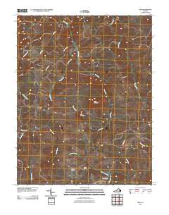
2010 Map of Vera
USGS Topo · Published 2010About this map
The Appomattox River winds through this central Virginia landscape, defining a rural network of small crossroads and creek valleys. In the southern portion of the quadrangle, the river is fed by tributaries like Plain Run Branch and Rocky Run, with the Patterson-Hix Burial Ground and Babcock Cemetery located nearby, offering specific points of interest for genealogical research in Appomattox County.
Find a feature on this map
21 named features on this map. Tap any name to fly to it.
Don’t see what you’re looking for? This feature index may not catch every label — zoom into the map to look around manually.
Map Details
Editions of this 2010 Vera Map
This is the sole edition of this map. No revisions or reprints were ever made.
Other maps of this area

1892 · Buckingham
USGS Topo · 1:125,000

1892 · Appomattox
USGS Topo · 1:125,000

1947 · Roanoke
USGS Topo · 1:250,000

1958 · Appomattox
USGS Topo · 1:62,500

1958 · Pamplin City
USGS Topo · 1:62,500

1959 · Roanoke
USGS Topo · 1:250,000

1961 · Shipman
USGS Topo · 1:62,500

1961 · Buckingham
USGS Topo · 1:62,500

1963 · Roanoke
USGS Topo · 1:250,000
1968 · Concord
USGS Topo · 1:24,000