
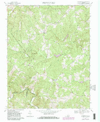
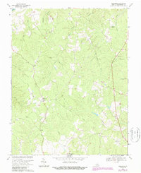
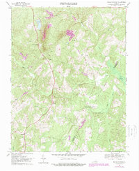
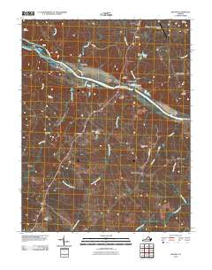
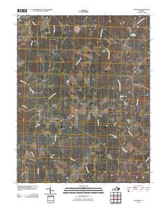
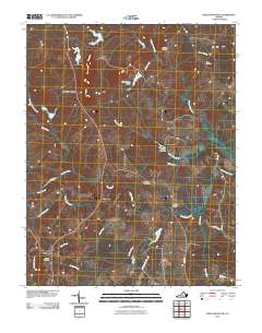
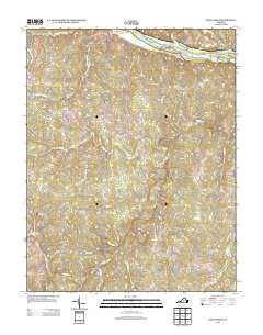
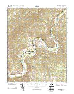
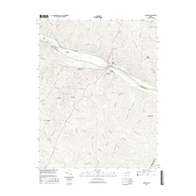
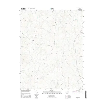
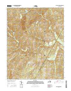
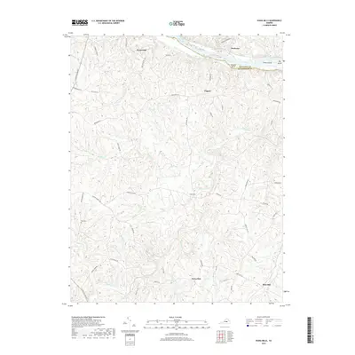
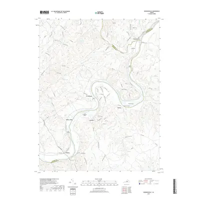
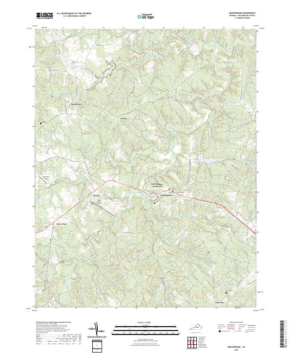
1961 Map of Buckingham
USGS Topo · Published 1963About this map
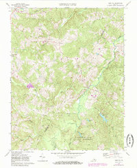
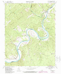
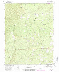
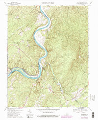
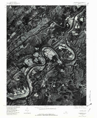
The James River meanders across the northwest corner of this Piedmont landscape, defining the borders between Buckingham, Nelson, and Albemarle counties. Along its banks, the Chesapeake and Ohio railroad corridor follows the path of the former Chesapeake and Ohio Canal, passing through riverfront settlements like Howardsville and Wingina. Inland, the terrain is characterized by a dense network of watercourses including the Slate River and Troublesome Creek, which supported early industry at sites like Slate River Mills. Rural life in the early 1960s is centered around numerous country churches and schools such as Jerusalem Ch and Union Grove Sch. The southern portion of the map is dominated by the Lee Experimental Forest and the county seat of Buckingham, which serves as a central hub for the surrounding crossroads communities of Mt Rush and Dentons Corner.
Find a feature on this map
91 named features on this map. Tap any name to fly to it.
Don’t see what you’re looking for? This feature index may not catch every label — zoom into the map to look around manually.
Map Details
Editions of this 1961 Buckingham Map
This is the sole edition of this map. No revisions or reprints were ever made.
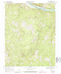
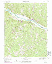
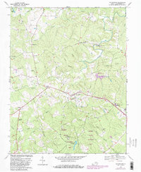
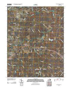
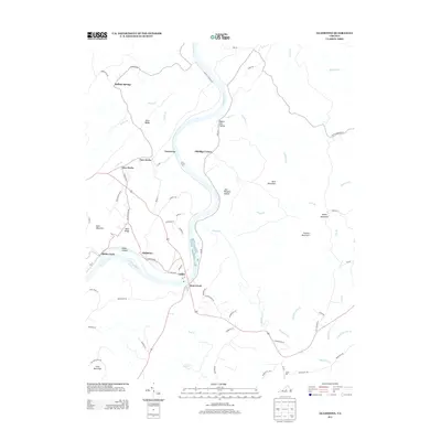
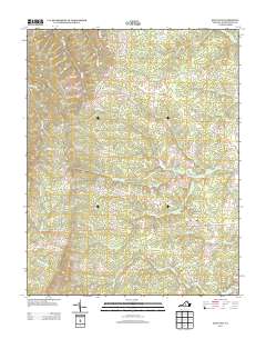
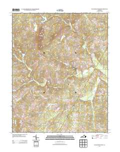
Historical Maps of Wingina Through Time
62 maps found
1961 Buckingham
Buckingham County, VA
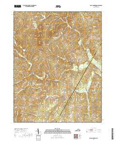
1967 Andersonville
Buckingham County, VA
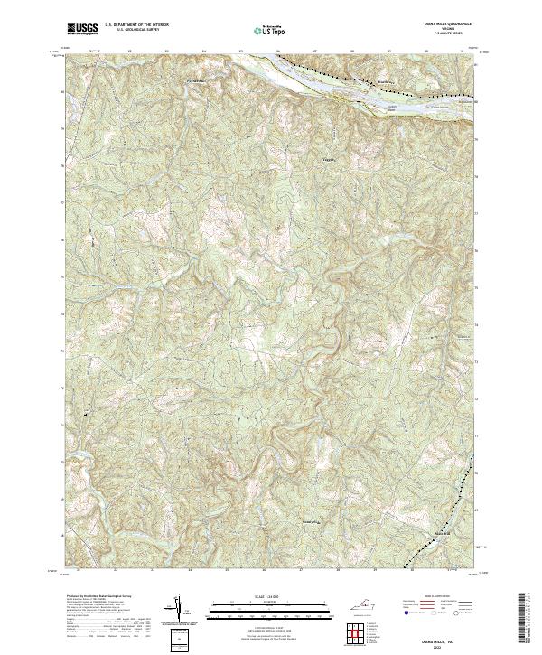
1967 Diana Mills
Buckingham County, VA
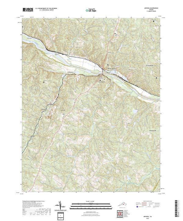
1968 Arvonia
Buckingham County, VA
1968 Buckingham
Buckingham County, VA
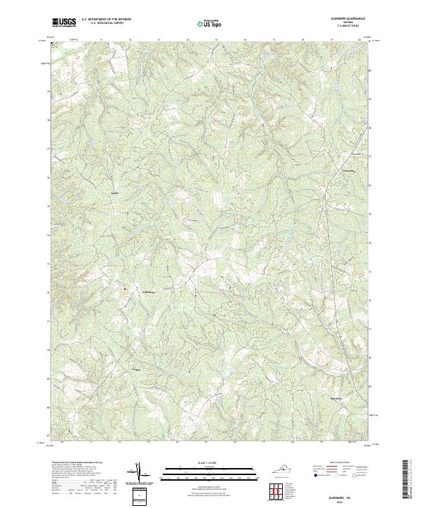
1968 Glenmore
Buckingham County, VA
1968 Gold Hill
Buckingham County, VA
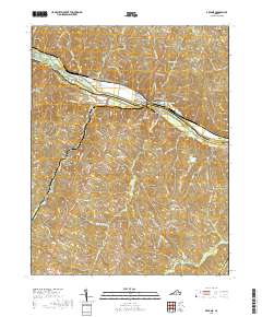
1968 Howardsville
Buckingham County, VA
1968 Saint Joy
Buckingham County, VA
1968 Willis Mountain
Buckingham County, VA
1969 Gladstone
Buckingham County, VA
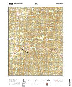
1979 Howardsville
Buckingham County, VA
2010 Andersonville
Buckingham County, VA
2010 Arvonia
Buckingham County, VA
2010 Buckingham
Buckingham County, VA
2010 Diana Mills
Buckingham County, VA
2010 Gladstone
Buckingham County, VA
2010 Glenmore
Buckingham County, VA
2010 Gold Hill
Buckingham County, VA
2010 Howardsville
Buckingham County, VA
2010 Saint Joy
Buckingham County, VA
2010 Willis Mountain
Buckingham County, VA
2013 Andersonville
Buckingham County, VA
2013 Arvonia
Buckingham County, VA
2013 Buckingham
Buckingham County, VA
2013 Diana Mills
Buckingham County, VA
2013 Gladstone
Buckingham County, VA
2013 Glenmore
Buckingham County, VA
2013 Gold Hill
Buckingham County, VA
2013 Howardsville
Buckingham County, VA
2013 Saint Joy
Buckingham County, VA
2013 Willis Mountain
Buckingham County, VA
2016 Andersonville
Buckingham County, VA
2016 Arvonia
Buckingham County, VA
2016 Buckingham
Buckingham County, VA
2016 Diana Mills
Buckingham County, VA
2016 Gladstone
Buckingham County, VA
2016 Glenmore
Buckingham County, VA
2016 Gold Hill
Buckingham County, VA
2016 Howardsville
Buckingham County, VA
2016 Saint Joy
Buckingham County, VA
2016 Willis Mountain
Buckingham County, VA
2019 Andersonville
Buckingham County, VA
2019 Arvonia
Buckingham County, VA
2019 Buckingham
Buckingham County, VA
2019 Diana Mills
Buckingham County, VA
2019 Gladstone
Buckingham County, VA
2019 Glenmore
Buckingham County, VA
2019 Gold Hill
Buckingham County, VA
2019 Howardsville
Buckingham County, VA
2019 Saint Joy
Buckingham County, VA
2019 Willis Mountain
Buckingham County, VA
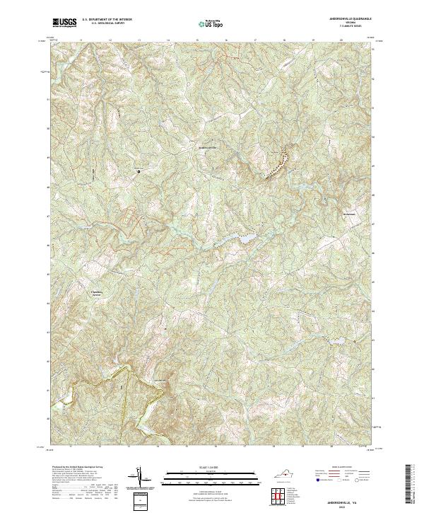
2022 Andersonville
Buckingham County, VA
2022 Arvonia
Buckingham County, VA
2022 Buckingham
Buckingham County, VA
2022 Diana Mills
Buckingham County, VA

2022 Gladstone
Buckingham County, VA
2022 Glenmore
Buckingham County, VA
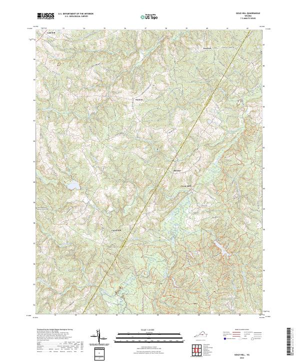
2022 Gold Hill
Buckingham County, VA
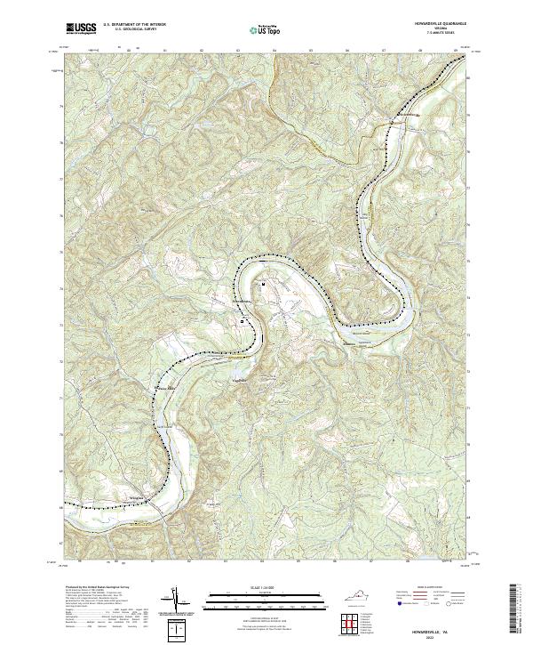
2022 Howardsville
Buckingham County, VA
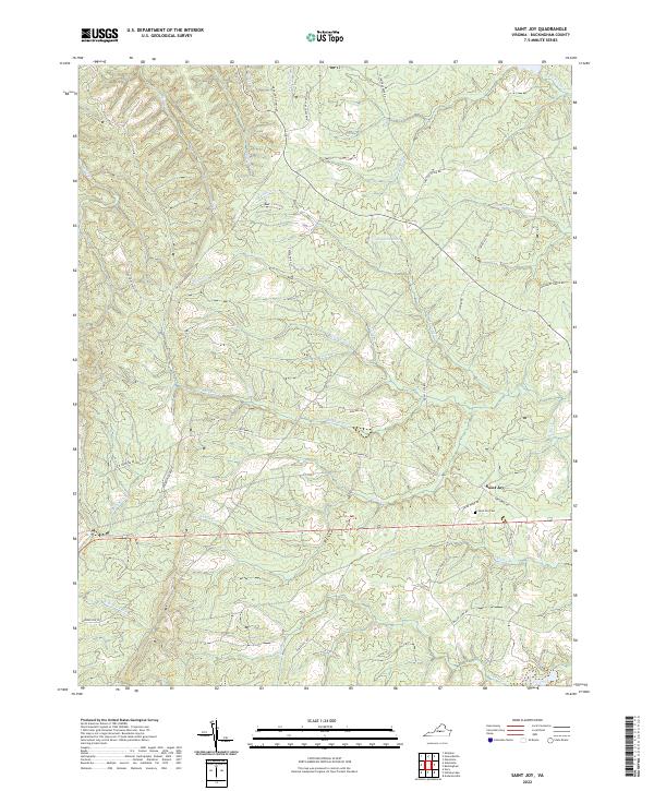
2022 Saint Joy
Buckingham County, VA
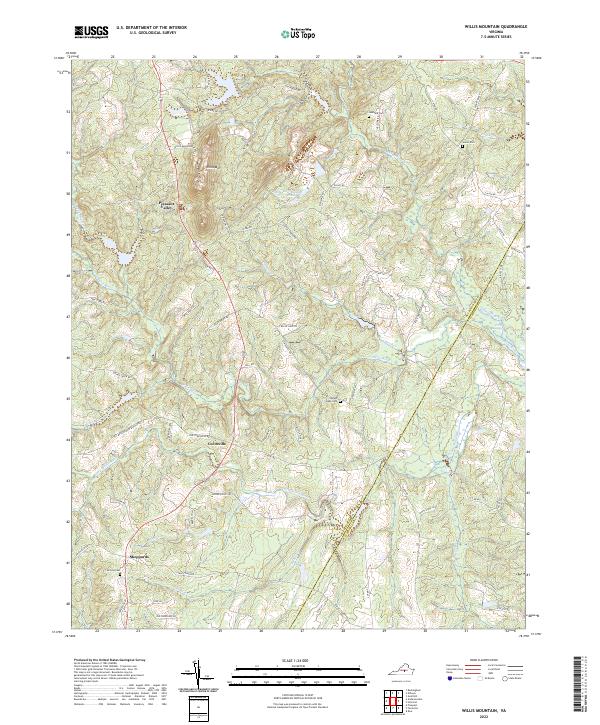
2022 Willis Mountain
Buckingham County, VA