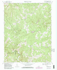
1967 Map of Andersonville
USGS Topo · Published 1981About this map
Andersonville sits at the center of this central Virginia landscape, where the headwaters of the Willis River and Slate River systems carve through the undulating terrain of the Piedmont. The map documents a period when rural crossroads communities and timberlands defined the local economy, anchored by numerous country houses of worship such as Second Liberty Ch, Bethel Ch, and First Liberty Ch. This 1967 survey, updated with 1979 aerial data, captures the intersection of three counties—Buckingham, Prince Edward, and Appomattox—marking a transitional zone between public lands and private agriculture. Extensive protected areas dominate the northern and western reaches, including the Horsepen State Wildlife Management Area and the Appomattox Buckingham State Forest. To the south, Woods Mountain rises above the winding path of the Appomattox River, which forms a natural boundary between counties.
Find a feature on this map
31 named features on this map. Tap any name to fly to it.
Don’t see what you’re looking for? This feature index may not catch every label — zoom into the map to look around manually.
Map Details
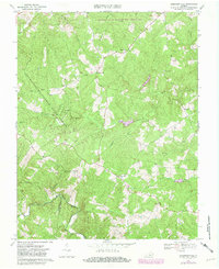
Editions of this 1967 Andersonville Map

Other maps of this area

1891 · Palmyra
USGS Topo · 1:125,000

1891 · Farmville
USGS Topo · 1:125,000

1892 · Buckingham
USGS Topo · 1:125,000

1892 · Appomattox
USGS Topo · 1:125,000

1893 · Farmville
USGS Topo · 1:125,000

1895 · Palmyra
USGS Topo · 1:125,000

1897 · Palmyra
USGS Topo · 1:125,000

1947 · Roanoke
USGS Topo · 1:250,000

1950 · Dillwyn
USGS Topo · 1:62,500

1958 · Farmville
USGS Topo · 1:62,500