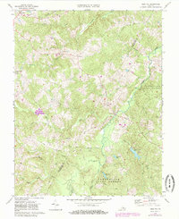
1968 Map of Gold Hill
USGS Topo · Published 1985About this map
Gold Hill and the surrounding rural landscape of Buckingham and Cumberland counties are defined by the winding course of the Willis River. This mid-century survey illustrates a region largely shaped by the Cumberland State Forest and a network of small, established communities including Hatcher, Lawford, and Nuckols. The importance of local social and religious centers is evident through the numerous country churches scattered across the terrain, such as Browne Chapel, Cedar Ch, and Jones Chapel.
Find a feature on this map
40 named features on this map. Tap any name to fly to it.
Don’t see what you’re looking for? This feature index may not catch every label — zoom into the map to look around manually.
Map Details
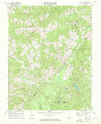
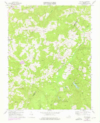
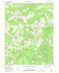
Editions of this 1968 Gold Hill Map
4 editions found
Other maps of this area

1891 · Palmyra
USGS Topo · 1:125,000

1891 · Farmville
USGS Topo · 1:125,000

1893 · Farmville
USGS Topo · 1:125,000

1895 · Palmyra
USGS Topo · 1:125,000

1897 · Palmyra
USGS Topo · 1:125,000

1947 · Roanoke
USGS Topo · 1:250,000

1950 · Dillwyn
USGS Topo · 1:62,500

1958 · Farmville
USGS Topo · 1:62,500

1958 · Jetersville
USGS Topo · 1:62,500

1958 · Dillwyn
USGS Topo · 1:62,500