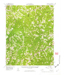
1958 Map of Jetersville
USGS Topo · Published 1959About this map
The Appomattox River carves a winding path through the heart of this central Virginia landscape, defining the boundaries between Cumberland, Powhatan, and Amelia counties. This mid-century survey reveals a rural society structured around waterpower and crossroads, featuring several historic milling sites such as Clementown Mills and Stony Point Mills. To the south, the Southern Railway and the Patrick Henry Highway parallel each other, connecting established communities like Jetersville and Maplewood.
Find a feature on this map
81 named features on this map. Tap any name to fly to it.
Don’t see what you’re looking for? This feature index may not catch every label — zoom into the map to look around manually.
Map Details
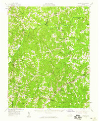
Editions of this 1958 Jetersville Map
2 editions found
Other maps of this area

1890 · Goochland
USGS Topo · 1:125,000

1891 · Palmyra
USGS Topo · 1:125,000

1891 · Farmville
USGS Topo · 1:125,000

1892 · Goochland
USGS Topo · 1:125,000

1893 · Farmville
USGS Topo · 1:125,000

1895 · Palmyra
USGS Topo · 1:125,000

1897 · Amelia
USGS Topo · 1:125,000

1897 · Palmyra
USGS Topo · 1:125,000

1943 · Powhatan
USGS Topo · 1:31,680
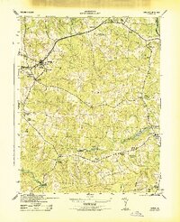
1943 · Amelia
USGS Topo · 1:31,680