
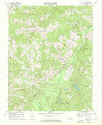
1968 Map of Gold Hill
USGS Topo · Published 1975About this map
The Willis River winds through the borderlands of Buckingham and Cumberland Counties, anchoring a rural Virginia landscape defined by the expansive Cumberland State Forest. Small communities and post offices like Gold Hill, Lawford, and Nuckols dot the countryside, connected by winding secondary roads. The area around Bear Creek Lake State Park highlights the importance of managed timberlands and water resources, including Arrowhead Lake and Winston Lake, which serve as vital recreation and conservation nodes within the forest system.
Find a feature on this map
39 named features on this map. Tap any name to fly to it.
Don’t see what you’re looking for? This feature index may not catch every label — zoom into the map to look around manually.
Map Details
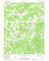
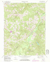
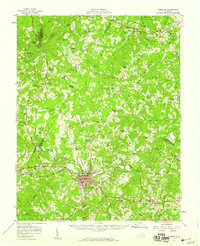
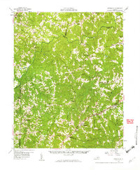
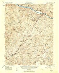
Editions of this 1968 Gold Hill Map
4 editions found
Other maps of this area

1891 · Palmyra
USGS Topo · 1:125,000

1891 · Farmville
USGS Topo · 1:125,000

1893 · Farmville
USGS Topo · 1:125,000

1895 · Palmyra
USGS Topo · 1:125,000

1897 · Palmyra
USGS Topo · 1:125,000

1947 · Roanoke
USGS Topo · 1:250,000
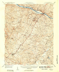
1950 · Dillwyn
USGS Topo · 1:62,500
1958 · Farmville
USGS Topo · 1:62,500
1958 · Jetersville
USGS Topo · 1:62,500
1958 · Dillwyn
USGS Topo · 1:62,500