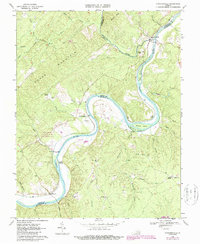
1968 Map of Howardsville
USGS Topo · Published 1987About this map
The James River carves a deep horseshoe through the heart of the Virginia Piedmont here, defining the borders of Nelson and Buckingham counties. Along these banks, the historic river economy is visible through hamlets like Howardsville and Warminster, where the topography transitions from the steep ridges of Horse Mountain and Mount Alto to the fertile bottomlands of Dog Island and Sycamore Island. The 1968 survey captures a landscape of rural endurance, featuring traditional community anchors such as Jerusalem Ch, Woodland Ch, and Grace Ch.
Find a feature on this map
46 named features on this map. Tap any name to fly to it.
Don’t see what you’re looking for? This feature index may not catch every label — zoom into the map to look around manually.
Map Details
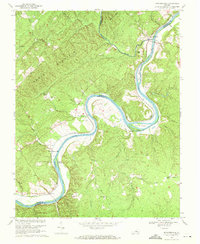
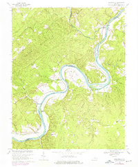
Editions of this 1968 Howardsville Map
3 editions found
Other maps of this area

1892 · Buckingham
USGS Topo · 1:125,000

1929 · Covesville
USGS Topo · 1:62,500

1935 · Covesville
USGS Topo · 1:62,500

1943 · Lovingston
USGS Topo · 1:62,500

1945 · Covesville
USGS Topo · 1:62,500

1946 · Lovingston
USGS Topo · 1:62,500

1947 · Roanoke
USGS Topo · 1:250,000

1959 · Roanoke
USGS Topo · 1:250,000

1961 · Shipman
USGS Topo · 1:62,500

1961 · Buckingham
USGS Topo · 1:62,500