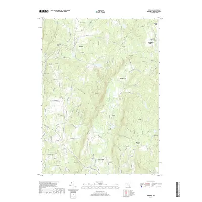
2019 Map of Verbank
USGS Topo · Published 2019About this map
Verbank Village and the surrounding hamlets of Dutchess County define this landscape of narrow valleys and prominent hills. Watered by the branching Sprout Creek and Fishkill Creek, the region is characterized by established settlements like Moores Mill, North Clove, and Clove Valley. The historical footprint is evident in the Chestnut Ridge Friends Cem and Clove Cem, markers of early Quaker and local community presence.
Find a feature on this map
150 named features on this map. Tap any name to fly to it.
Don’t see what you’re looking for? This feature index may not catch every label — zoom into the map to look around manually.
Map Details
Editions of this 2019 Verbank Map
This is the sole edition of this map. No revisions or reprints were ever made.
Other maps of this area

1893 · Clove
USGS Topo · 1:62,500

1893 · Poughkeepsie
USGS Topo · 1:62,500

1894 · Clove
USGS Topo · 1:62,500

1894 · Poughkeepsie
USGS Topo · 1:62,500

1898 · Clove
USGS Topo · 1:62,500

1898 · Rhinebeck
USGS Topo · 1:62,500

1899 · Millbrook
USGS Topo · 1:62,500

1901 · Clove
USGS Topo · 1:62,500

1902 · Millbrook
USGS Topo · 1:62,500

1903 · Poughkeepsie
USGS Topo · 1:62,500