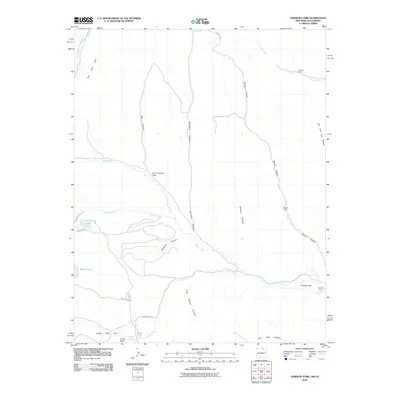
2010 Map of Vermejo Park
USGS Topo · Published 2010About this map
Vermejo Park and the high-elevation landscape of the Sangre de Cristo foothills are the focus of this 2010 study. The topography is defined by complex drainage systems and notable geological formations like The Little Wall and Castle Rock. Significant water sources, including Bubbling Springs and Merrick Lake, support the local environment where the Vermejo River and the North Fork Vermejo River converge. The human footprint is marked by the presence of the Bartlett Mine and remote outposts like Vasquez Camp, reachable via roads such as Bartlett Rd and Cimarron Rd. Deep canyons such as Gonzales Canyon, Spring Canyon, and the strikingly named Crazy Woman Canyon reveal the erosion patterns of the region's high mesas and plateaus, while San Francisco Pass provides a traditional route through the mountain terrain.
Find a feature on this map
28 named features on this map. Tap any name to fly to it.
Don’t see what you’re looking for? This feature index may not catch every label — zoom into the map to look around manually.
Map Details
Editions of this 2010 Vermejo Park Map
This is the sole edition of this map. No revisions or reprints were ever made.
Other maps of this area

1891 · Spanish Peaks
USGS Topo · 1:125,000

1893 · Spanish Peaks
USGS Topo · 1:125,000

1895 · Spanish Peaks
USGS Topo · 1:125,000

1897 · Spanish Peaks
USGS Topo · 1:125,000

1900 · Spanish Peaks
USGS Topo · 1:125,000

1954 · Raton
USGS Topo · 1:250,000

1954 · Trinidad
USGS Topo · 1:250,000

1955 · Trinidad
USGS Topo · 1:250,000

1958 · Raton
USGS Topo · 1:250,000

1958 · Trinidad
USGS Topo · 1:250,000