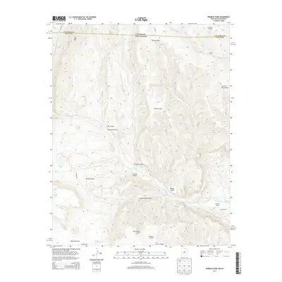
2013 Map of Vermejo Park
USGS Topo · Published 2013About this map
Vermejo River drainage systems define this high-altitude borderland where New Mexico meets Colorado. The settlement at Vermejo Park serves as a focal point in the southeast, situated near the confluence of several canyons. Further north, Vasquez Camp sits along the Canadian River, which cuts through the northeastern corner of the map. The terrain is marked by dramatic geological formations such as The Little Wall and Castle Rock, with the latter located within the namesake Castle Rock Park.
Find a feature on this map
30 named features on this map. Tap any name to fly to it.
Don’t see what you’re looking for? This feature index may not catch every label — zoom into the map to look around manually.
Map Details
Editions of this 2013 Vermejo Park Map
This is the sole edition of this map. No revisions or reprints were ever made.
Other maps of this area

1891 · Spanish Peaks
USGS Topo · 1:125,000

1893 · Spanish Peaks
USGS Topo · 1:125,000

1895 · Spanish Peaks
USGS Topo · 1:125,000

1897 · Spanish Peaks
USGS Topo · 1:125,000

1900 · Spanish Peaks
USGS Topo · 1:125,000

1954 · Raton
USGS Topo · 1:250,000

1954 · Trinidad
USGS Topo · 1:250,000

1955 · Trinidad
USGS Topo · 1:250,000

1958 · Raton
USGS Topo · 1:250,000

1958 · Trinidad
USGS Topo · 1:250,000