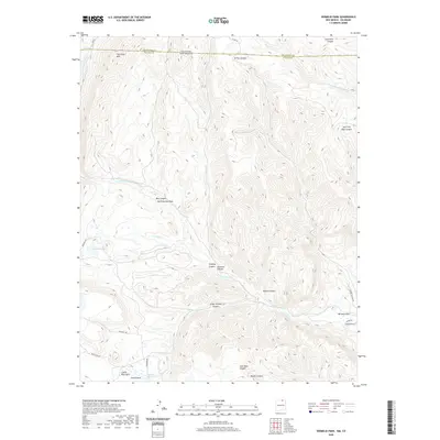
2020 Map of Vermejo Park
USGS Topo · Published 2020About this map
Vermejo Park sits at the heart of this high-country landscape, where the Vermejo River and its numerous tributaries have carved a complex system of canyons across the Colorado and New Mexico state line. The terrain is defined by dramatic named features like The Little Wall in the north and the distinct Castle Rock near Castle Rock Park in the southwest. This area, spanning both Las Animas County and Colfax County, shows a network of remote roads including Bear Camp Rd and Cimarron Rd that navigate between steep-walled drainages such as Crazy Woman Canyon, Mestas Canyon, and Juan Baca Canyon. The hydrography of the region is equally varied, featuring the N Fork Vermejo River, Leandro Cr, and the isolated Merrick Lake. Geographers and historians can trace the transition from the Canadian River headwaters through high passes like San Francisco Pass in a region where water sources like Bubbling Springs were critical landmarks for early travel.
Find a feature on this map
32 named features on this map. Tap any name to fly to it.
Don’t see what you’re looking for? This feature index may not catch every label — zoom into the map to look around manually.
Map Details
Editions of this 2020 Vermejo Park Map
This is the sole edition of this map. No revisions or reprints were ever made.
Other maps of this area

1891 · Spanish Peaks
USGS Topo · 1:125,000

1893 · Spanish Peaks
USGS Topo · 1:125,000

1895 · Spanish Peaks
USGS Topo · 1:125,000

1897 · Spanish Peaks
USGS Topo · 1:125,000

1900 · Spanish Peaks
USGS Topo · 1:125,000

1954 · Raton
USGS Topo · 1:250,000

1954 · Trinidad
USGS Topo · 1:250,000

1955 · Trinidad
USGS Topo · 1:250,000

1958 · Raton
USGS Topo · 1:250,000

1958 · Trinidad
USGS Topo · 1:250,000